Directions
From Datil, NM, drive NM Highway 12 southwest for about 25.5 miles. Past mile marker 49, turn north onto Horse Springs Road (unmarked gravel), just before a ranch house. Drive 4.2 miles, and turn on a dirt road to the right. Pass through the gate, and drive 0.8 miles to a parking area (this road requires high clearance). From the parking area, a trail can be hiked or ridden on horseback to Nance Canyon.
Phone
575-835-0412
Activities
HIKING, WILDLIFE VIEWING
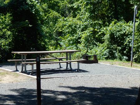
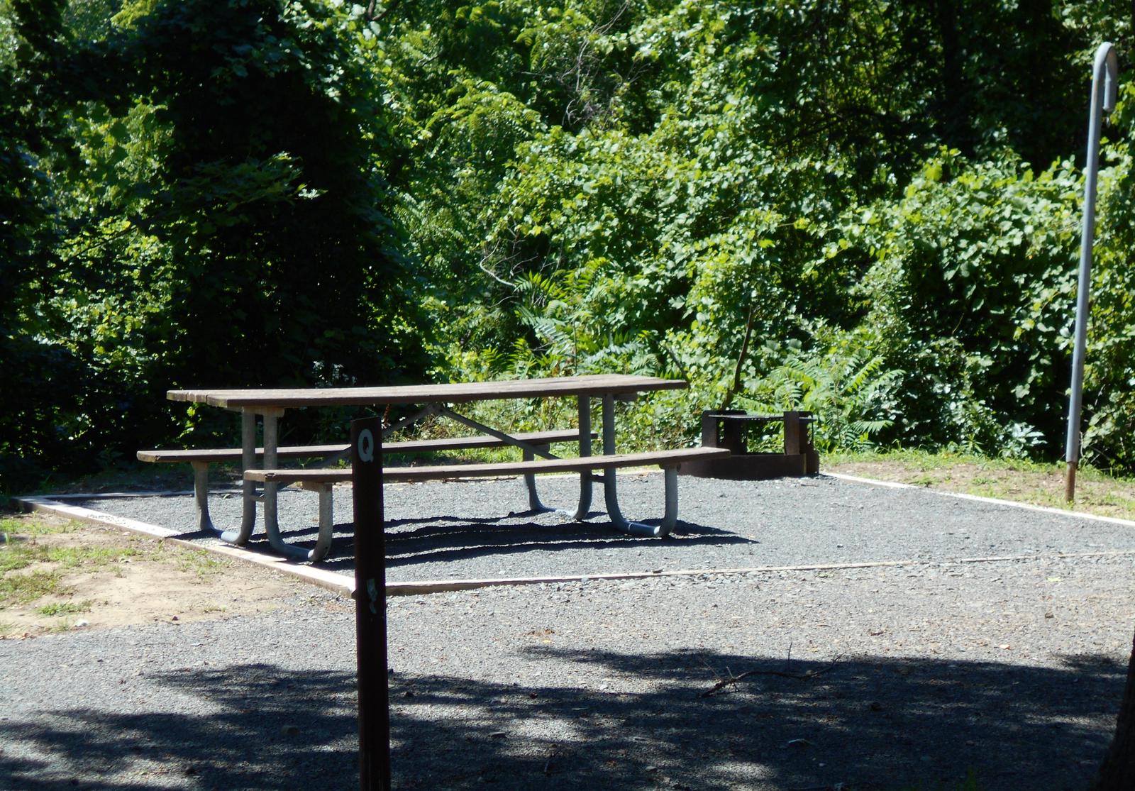
Camping Reservations
Reserve your campsite at these camping areas:
Hiking Trails
Looking for nice hiking areas to take a hike? Choose from these scenic hiking trails:
Related Link(s)
More New Mexico Recreation Areas
BLM New Mexico YouTube Channel
BLM New Mexico YouTube Channel
Rising above the grassy plains of San Agustin, Horse Mountain, at 9,450 feet, provides sweeping views across west-central New Mexico. On south-facing slopes, you will find one-seed juniper, alligator juniper, and two-leaf piÑon, while on north-facing slopes, you will find ponderosa pine, Douglas fir, and Mexican white pine. Horse Mountain is an isolated forest and woodland providing habitat for wildlife including mule deer, elk, golden eagles, mountain lions, bobcats, and occasionally, bald eagles.