Directions
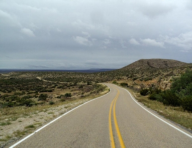
The Guadalupe Backcountry Byway is located about 12 miles north of Carlsbad, NM, and 23 miles south of Artesia, NM. There are signs on US 285 directing visitors to the Byway. Its entrance is at the intersection of US 285 and State Highway 137 (Queen Highway) near Brantley Lake State Park, and ends in the Lincoln National Forest Guadalupe Ranger District boundary 30 miles to the southwest. It can also be accessed at the southern end by traveling west on Dark Canyon Road from US 62/180.
Phone
575-234-5972
Activities
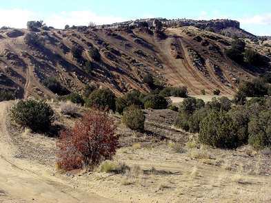
AUTO TOURING, BIKING, HIKING, WILDLIFE VIEWING
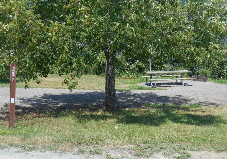
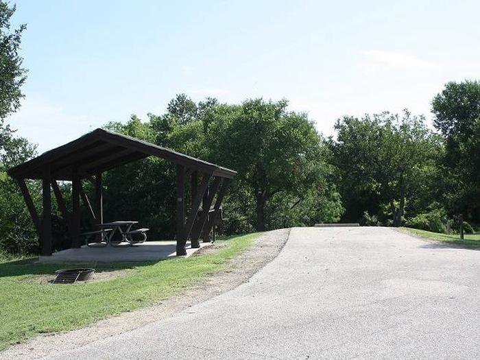
Camping Reservations
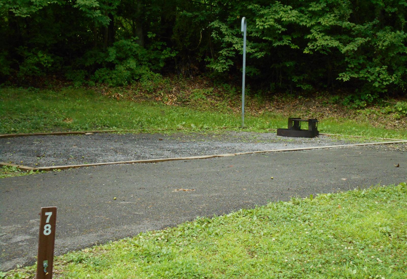
Reserve your campsite at these camping areas:
Hiking Trails
Looking for nice hiking areas to take a hike? Choose from these scenic hiking trails:
Related Link(s)
More New Mexico Recreation Areas
BLM New Mexico YouTube Channel
BLM New Mexico YouTube Channel
For 30 miles, the Guadalupe Backcountry Byway travels the transition from cholla cactus in the Chihuahuan Desert west of Carlsbad up into the pines of the dramatic Guadalupe Escarpment. Travelers can see mule deer, pronghorn antelope, gray fox, scaled quail, mourning dove, a variety of songbirds, and small mammals. The Byway is located along the Capitan Reef of the Permian Basin and passes through an area of producing oil and gas wells. The plains give way to steep limestone outcrops cut by dry arroyos. Beneath the surface are numerous caves, including Carlsbad Caverns and Lechugilla Cave within nearby Carlsbad Caverns National Park. The Byway has interpretation stops along the way explaining different aspects of multiple-use public land management. The interpretive stops include explanations of activities taking place on this “working landscape,” which include oil and gas development, livestock grazing, recreation uses, as well as other land use opportunities and natural resource protection measures. The Guadalupe Backcountry Byway also provides a gateway for rural tourism and access to many little-known attractions. Numerous intersecting improved roads and unimproved OHV-two track trails provide access to public lands with excellent opportunities for hiking/backpacking, primitive camping, caving, horseback riding, nature study, mountain biking, hunting, and other outdoor experiences.