Directions
There are several ways to view the trail. Three highways traverse the segment’s corridor. Highway 220 follows the corridor from Independence Rock to Muddy Gap Junction, Highway 287 follows it from Muddy Gap to Sweetwater Station, and Highway 28 parallels the segment from its crossing of South Pass to its end at Farson. In some places these highways cross the actual trails or closely follow them.
Phone
statewide
Activities
AUTO TOURING, BIKING, CAMPING, INTERPRETIVE PROGRAMS, FISHING, HIKING, HORSEBACK RIDING, WILDLIFE VIEWING, ENVIRONMENTAL EDUCATION, PHOTOGRAPHY
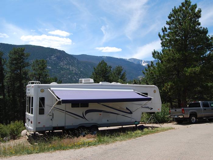
Camping Reservations
Reserve your campsite at these camping areas:
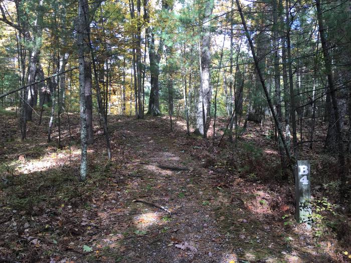
Hiking Trails
Looking for nice hiking areas to take a hike? Choose from these scenic hiking trails:
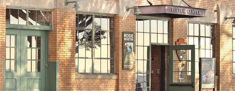
Devil’s Gate Interpretive Site
Related Link(s)
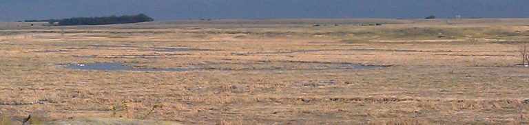
Four National Historic Trails (NHTs), the Oregon, Mormon Pioneer, California, and Pony Express, share the same corridor through central Wyoming known as the South Pass region. This portion of the trail corridor has special significance because it contains many miles of well-preserved trail and numerous nationally recognized sites. In addition, the landscape surrounding this segment looks virtually the same as it did 150 years ago when the first emigrants passed through the area.
The trails facilitated a major part of the westward expansion of the United States during the 19th century and area a major part of the colorful history of the Rocky Mountain west.
Important historical sites along the trail include Independence Rock, Devil’s Gate, Split Rock, Ice Slough, Rocky Ridge, Willie’s Handcart Disaster Site, South Pass and Parting of the Ways. In addition to the above, there are numerous state stops, telegraph stations, military posts and river crossings that played an important role in the history of the trails. Highway turnouts near many of the sites contain interpretive markers and provide excellent vantage points from which to view the trail corridor and the surrounding countryside.
While much of the NHT corridor in Wyoming is undisturbed, some portions have been improved and are now two-track or graded roads. Other portions have been obliterated by highway construction. However, visible trail remnants can be seen from Independence Rock to Farson, Wyoming.