Directions
-From Harlingen, go east on Tyler Ave which becomes FM 106. Continue 18 miles past Rio Hondo. Take a left at the T and drive three miles to the visitor center. -From South Padre Island, take Highway 100 out of Port Isabel and exit right on FM 510 at Laguna Vista. Continue 5.4 miles to the Buena Vista Rd (Cameron County Airport). Take a right and continue approximately 7 miles to the visitor center. -From Brownsville, go north on Paredes Line Road (1847) through Los Fresnos to Highway 106. Take a right and go approximately 10 miles to the T. Take a left and drive 3 miles to the visitor center.
Phone
956-748-3607
Activities
AUTO TOURING, INTERPRETIVE PROGRAMS, FISHING, HIKING, HUNTING, VISITOR CENTER, WILDLIFE VIEWING, ENVIRONMENTAL EDUCATION, PHOTOGRAPHY, PADDLING
Camping Reservations
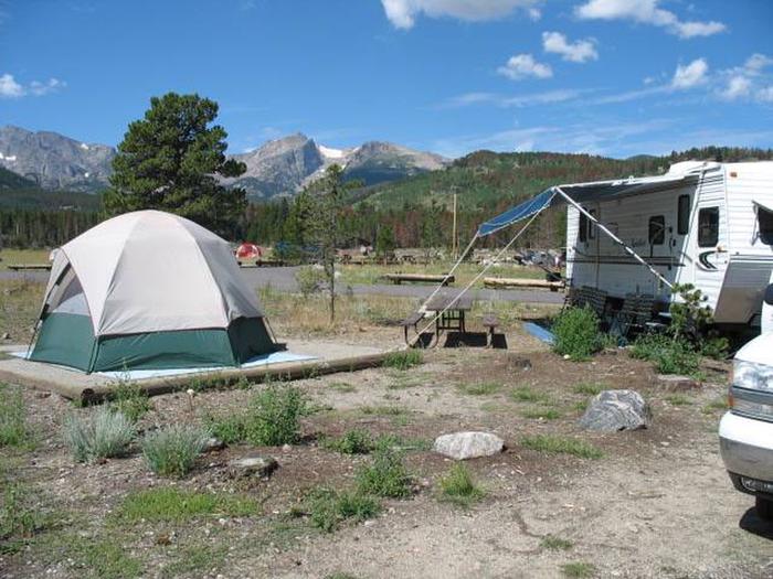
Reserve your campsite at these camping areas:
Hiking Trails
Looking for nice hiking areas to take a hike? Choose from these scenic hiking trails:
Related Link(s)
Laguna Atascosa National Wildlife Refuge
The south Texas landscape is a unique blending of temperate, subtropical, coastal, and desert habitats. Mexican plants and wildlife are at the northernmost edge of their range, while migrating waterfowl and sandhill cranes fly down for the mild winters. This combination makes Laguna Atascosa National Wildlife Refuge world famous for its birds, and home to a mix of wildlife found nowhere else. Laguna Atascosa NWR is the largest protected area of natural habitat left in the Lower Rio Grande Valley, an oasis for wildlife with few alternatives. The refuge’s 45,187 acres become more valuable with each acre lost to development–valuable to wildlife and valuable to those who enjoy wildlife in wildlands.


