Directions
From Newcastle, WY: Take US Highway 85N 18 miles to the county road to Mallo Camp. Turn east at Mallo Camp sign and drive approximately 4 miles to the junction at Mallo Camp. Go approximately 1 mile east to the trailhead. The parking area is past Mallo Camp and on your right about a quarter mile. From Sundance, WY: Take US Highway 585 south 27 miles to Four Corners, then south on US Highway 85 approximately 0.2 mile to Mallo Camp turnoff. Turn east at the Mallo Camp sign and drive approximately 4 miles to the junction at Mallo Camp. Go approximately 1 mile east to the trailhead. From Deadwood, SD: Take US Highway 85S/14W 33 miles to Four Corners, then south on US Highway 85 approximately 0.2 mile to Mallo Camp turnoff. Turn east at the Mallo Camp sign and drive approximately 4 miles to the junction at Mallo Camp. Go approximately 1 mile east to the trailhead.
Phone
307-746-6600
Activities
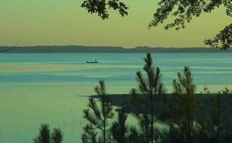
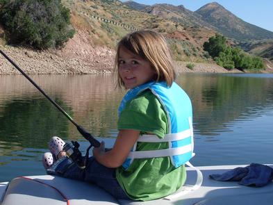
BIKING, HIKING, HORSEBACK RIDING, HUNTING, WILDLIFE VIEWING, PHOTOGRAPHY
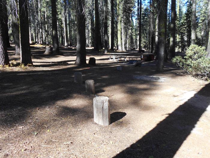
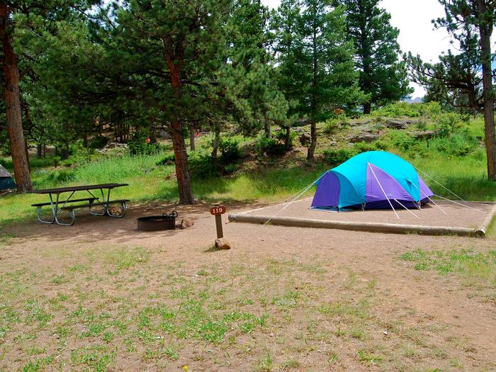
Camping Reservations
Reserve your campsite at these camping areas:
Hiking Trails
Looking for nice hiking areas to take a hike? Choose from these scenic hiking trails:
Related Link(s)
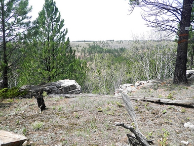
The Mallo Trail is somewhat unique in that it passes through several vegetative zones including riparian, aspen, spruce/fir, ponderosa pine, grassland, bare rock, and shrub communities.
Several points along the trail afford vistas of the Black Hills, and wildlife is abundant. Wildlife species common in the area include mule deer, whitetail deer, elk, wild turkey, ruffed grouse, and a variety of small mammals and birds. Predators such as coyotes and mountain lions are less common but do pass through the area.
The Weston County portion of the trail is marked with a variety of fiberglass or wooden posts and rock cairns. From the trailhead, the trail leads south along the ridgeline on the Wyoming/South Dakota state line. The trail follows along a fence line for a distance of approximately one quarter of a mile to a gate in the fence where the trail re-enters Wyoming and continues onto BLM administered lands. The trail crosses a prominent two-track road and then makes a loop (with a cut across for those preferring a shorter hike) before returning to the gate at the Wyoming/South Dakota line. From there, visitors will hike back along the same trail they used to enter the loop trail. The entire trail is more than 3.5 miles.
The Mallo Trail trailhead is located at a small parking area approximately one mile east of Mallo Camp on Beaver Creek Road. Parking at the trailhead is limited. Dispersed camping on BLM-administered land is allowed. Organized groups advertising events on the trail must contact the Newcastle Field Office to obtain a special recreation permit for activities occurring on BLM administered lands.