Directions
From I-90, take Exit 124 and turn north on WY 50/Skyline Drive and continue 0.3 mile to the intersection with Hwy 14/16/59. Turn left onto Highway 14/16/59 and travel 6.8 miles toward Gillette Regional Airport. When routes divide, turn right onto Highway 59 North. Continue along Highway 59 N for about 13 miles; both the south and north parking areas will be on your right, about 2.5 miles apart.
Phone
307-684-1100
Activities
BIKING, HIKING, HORSEBACK RIDING, HUNTING, WILDLIFE VIEWING, PHOTOGRAPHY
Camping Reservations
Reserve your campsite at these camping areas:
Hiking Trails
Looking for nice hiking areas to take a hike? Choose from these scenic hiking trails:
Related Link(s)
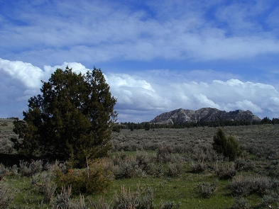
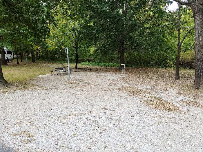
Burnt Hollow consists of more than 18,000 acres of public land in sagebrush country with dramatic geologic formations and a diversity of wildlife species. This primitive non-motorized recreation area offers hunting, backpacking, hiking, backcountry camping, and horseback riding. Trails are not marked, but several miles of old roads (especially near the south parking lot) provide a network for riding or hiking.
You may encounter cattle grazing within the recreation area. Several stock water ponds and small reservoirs are located within the unit, but potable water is not provided.
Visitors should come prepared with a map and compass or GPS unit. There are no visitor facilities within the unit.
If you venture into the recreation area, you may notice smoke from coal seam fires. These fires burn mostly underground, but occasionally come to the surface. Please use extreme caution if you are approaching the burning area.