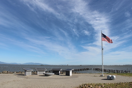
Directions
Follow highway CA-178 approximately 30 miles east of the town of Lake Isabella and turn north onto Canebreak Road. From here, you can access most of the sites within the recreation area, including Chimney Creek Campground, Long Valley Campground, Domelands Wilderness (on your left as you drive up Canebrake Road), Owens Peak Wilderness (on your right as you drive up Canebrake Road), and Chimney Peak Wilderness (on your left on Canebrake Road past the junction with Long Valley Road). For detailed directions to each of these sites, see their individual pages.
Phone
661-391-6000
Activities
AUTO TOURING, CAMPING, HIKING, HORSEBACK RIDING, HUNTING, WILDLIFE VIEWING, PHOTOGRAPHY
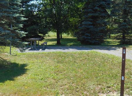
Camping Reservations
Reserve your campsite at these camping areas:
Hiking Trails
Looking for nice hiking areas to take a hike? Choose from these scenic hiking trails:
Related Link(s)
More California Recreation Areas
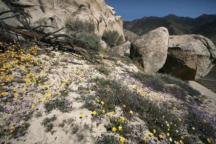
Chimney Peak Recreation Area includes most of the Bakersfield Field Office’s Southern Sierra Recreation sites and Wilderness areas, including Domelands Wilderness, Sacatar Trail Wilderness, Owens Peak Wilderness, Chimney Peak Wilderness, Long Valley Campground, Chimney Creek Campground, Walker Pass Campground, the Owens Peak segment of the Pacific Crest National Scenic Trail, Lamont Peak and other Wilderness trails, and the former Chimney Peak Backcountry byway. The area consists of approximately 105,000 acres stretching from north of California State Highway 178 to the edge of the Field Office near Kennedy Meadows. This rugged section of the southern Sierra Nevada mountains offers a number of excellent opportunities for hiking, bakcpacking, day hiking, horseback riding, and outstanding opportunities for primitive recreation and experiences of solitude and isolation.