Directions
Proceed north from Oakhurst on Highway 49 to the Raymond Rd. (also referred to as Grub Gulch Rd.). Drive 2.5 miles west from Hwy 49 to the dirt parking area at the junction of the Fresno River and Crook’s Creek, by the historical marker for Sugar Pine Flume. Follow the trail to the river.
Phone
661-391-6000
Activities
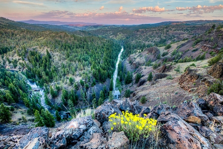
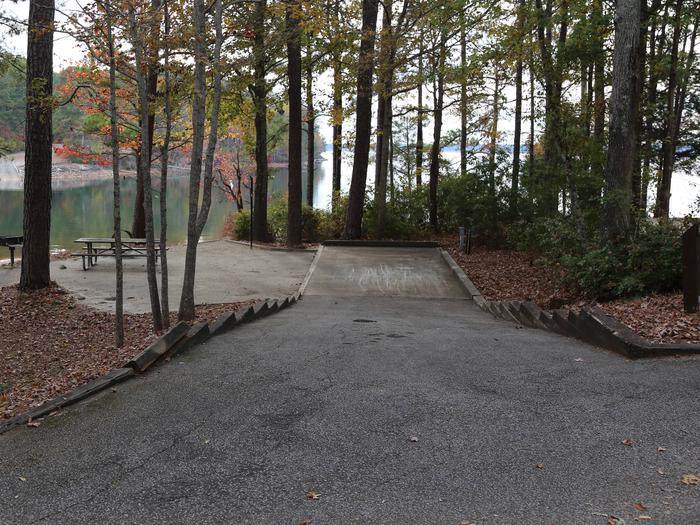
FISHING, HIKING, WILDLIFE VIEWING, PHOTOGRAPHY
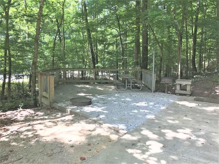
Camping Reservations
Reserve your campsite at these camping areas:
Hiking Trails
Looking for nice hiking areas to take a hike? Choose from these scenic hiking trails:
Related Link(s)
More California Recreation Areas
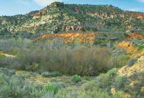
Located in the Historic Grub Gulch Mining District and site of a portion of the historic Sugarpine-Madera Flume, this site features access to the Fresno River. Activities include water play, nature study and gold panning (with permission of the Central Valley Prospectors Club which holds the active mining claim on the site). The site is accessed off of County Road 600 in Madera County, just north of the town of Oakhurst. There is a dirt parking area and no other facilities, so please practice Leave No Trace and Tread Lightly principles to recreate responsibly on your public lands. BLM uses this site for interpretive programs call 559-855-3492 for information.