Directions
From Interstate 5 take the US Highway 198 exit and follow Highway 198 through the town of Coalinga. Continue for approximately 18 miles and make a right onto Coalinga Mineral Springs road. Public lands are located across the creek at the far end of Coalinga Mineral Springs County Park.
Phone
831-582-2200
Activities
BIKING, CAMPING, HIKING, HORSEBACK RIDING, HUNTING, WILDLIFE VIEWING, PHOTOGRAPHY
Camping Reservations
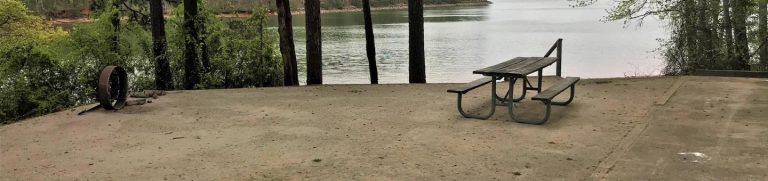
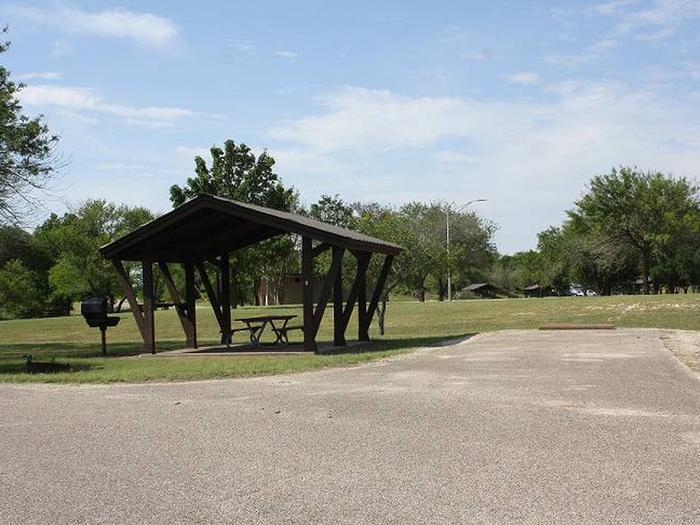
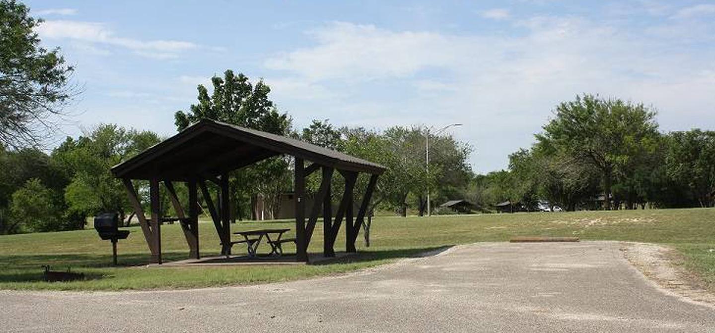
Reserve your campsite at these camping areas:
Hiking Trails
Looking for nice hiking areas to take a hike? Choose from these scenic hiking trails:
Related Link(s)
More California Recreation Areas
The Coalinga Mineral Springs National Recreation Trail was designated under the National Recreation Trails System Act in 1981. The trail is located on the scenic southern tip of the Diablo Mountains. Panoramic views of the southern Diablo Mountains can be enjoyed from Kreyenhagen Peak. The area is a mixed chaparral-foothill vegetation community where visitors can encounter grey pine, chamise, Manzanita, yucca, and many other shrubs and annual wildflowers. Trailhead parking is located at Coalinga Mineral Springs County Park. There is no longer any running water or facilities at the County Park, and there are no facilities along the trail except for directional signs. There is an information board and map box located at the trailhead.