Directions
From Hollister go south on State Highway 25 and turn left at Coalinga Road heading east. Continue approximately 21 miles to the Access point on your left at the San Benito-Fresno County line.
Phone
831-582-2200
Activities
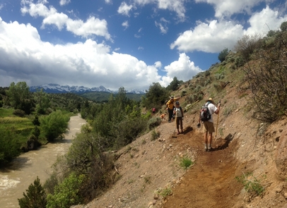
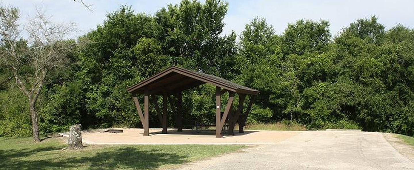
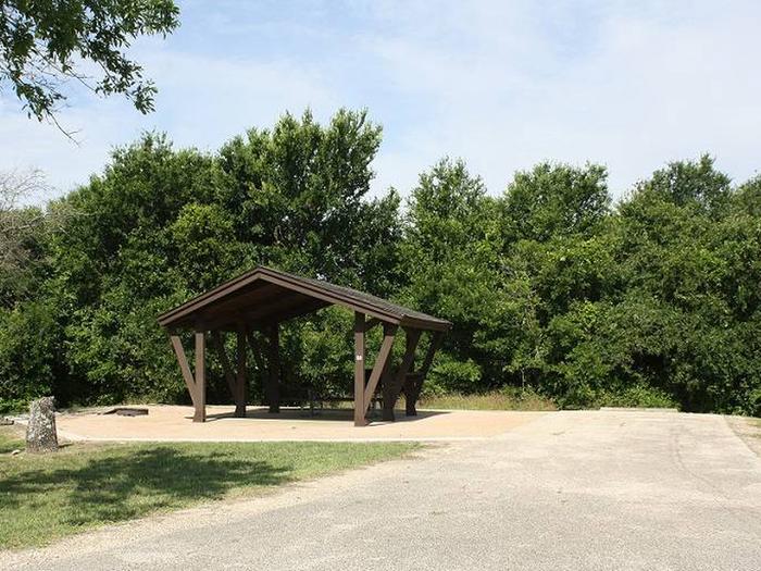
AUTO TOURING, BIKING, CAMPING, HIKING, HORSEBACK RIDING, HUNTING, WILDLIFE VIEWING, PHOTOGRAPHY
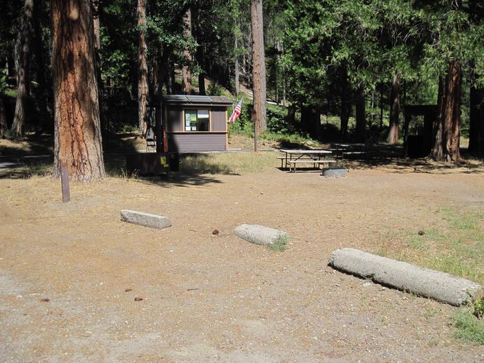
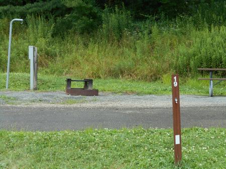
Camping Reservations
Reserve your campsite at these camping areas:
Hiking Trails
Looking for nice hiking areas to take a hike? Choose from these scenic hiking trails:
Related Link(s)
More California Recreation Areas
Located on the outskirts of the Clear Creek Management Area (CCMA), Condon Peak offers rolling grass-covered slopes with a few tall pines and shrubs, as well as steep slopes and rocky outcrops covered with pine and brush. With the opening of the summer deer-hunting season, Condon Peak experiences a surge in public use.