Directions
Lewis and Clark Refuge is administered from the Julia Butler Hansen Refuge office. To reach the office, exit Interstate 5 to Longview, Washington. Proceed west on Highway 4 to Cathlamet. Continue on Highway 4 about 1 mile past Cathlamet. Turn left on Steamboat Slough Road. Refuge headquarters is about 0.25 miles to the right. The refuge itself is accessible only by boat. Boat launch facilities are located at various points in Washington and Oregon along the lower Columbia River, including Skamokawa in Washington and John Day Point and Aldrich Point in Oregon. Some of the islands are visible from Highway 30, on the Oregon side of the Columbia River, 5 miles east of Astoria. From Interstate 5, take the Longview, Washington, exit. Proceed about 1 mile across a bridge over the Columbia River to Rainer, Oregon. Take Highway 30 west toward Astoria.
Phone
360-795-3915
Activities
BOATING, FISHING, HUNTING, PHOTOGRAPHY, PADDLING
Camping Reservations
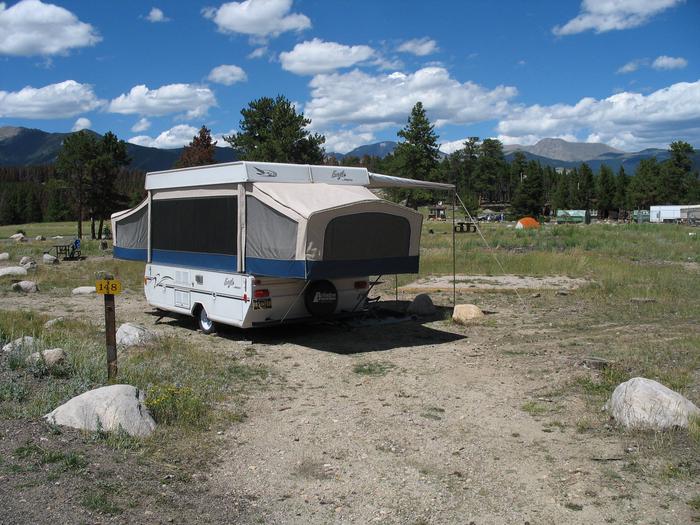
Reserve your campsite at these camping areas:
Hiking Trails
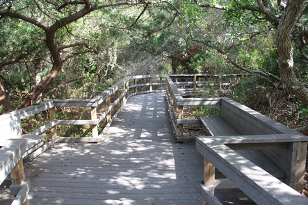
Looking for nice hiking areas to take a hike? Choose from these scenic hiking trails:
Related Link(s)
More Washington Recreation Areas
Lewis & Clark National Wildlife Refuge
Lewis and Clark Refuge, near the mouth of the Columbia River, provides wintering and resting areas for an estimated 1,000 tundra swans, 5,000 geese, and 30,000 ducks. Other species include shorebirds and bald eagles. Estuary waters provide vital food resources for juvenile salmon as they pause to become acclimated to salt water before entering the Pacific Ocean. Bald eagles are present year-round; there are 30-35 active nest sites. Other fish species using the estuary include American shad, smelt, perch, starry flounder, bass, catfish, and Pacific lamprey. Harbor seals use sandbars and mud flats as resting sites at low tides, while seals and California sea lions feed on fish in the estuary. Beaver, raccoon, weasel, mink, muskrat, and river otter also live on the islands.


