Directions
From Interstate 25 at Las Cruces, exit onto Interstate 10 west for approximately 17 miles and take exit #127/Corralitos Rd. Turn left at the immediate T-intersection and continue ¼ mile up to the overpass and turn left. Drive over the Interstate and turn right onto Robert Larson Blvd. Drive for just over 2 miles on Robert Larson Blvd, and veer left onto County Road B5. Drive southwest on CR B5 for about 8 ¾ miles, and just after crossing the railroad tracks, turn southeast onto County Road B4. Parallel the fence for approximately 7 ½ miles to the WSA boundary, the WSA is to your right for the next 1½ miles.
Phone
575-525-4300
Activities
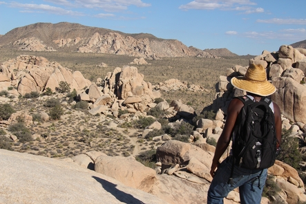
HIKING
Camping Reservations
Reserve your campsite at these camping areas:
Hiking Trails
Looking for nice hiking areas to take a hike? Choose from these scenic hiking trails:
Related Link(s)
More New Mexico Recreation Areas
BLM New Mexico YouTube Channel
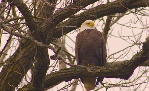
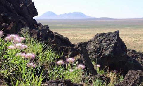
The Aden Lava Flow WSA is located 20 miles southwest of Las Cruces in the Chihuahuan Desert. The area is characterized by basalt flows, volcanic craters, and coppice sand dunes. The lava flow includes pressure ridges, lava tubes, and steep-walled depressions of up to 100 feet wide. Grass and shrubs grow on the flow with many cacti and yucca. Vegetation consists of grasslands and desert shrubs such as mesquite and creosote. Vent tubes, and the many crevices found in the lava, provide cover and den sites for wildlife. Bats are numerous and the rock pocket mouse and black-tailed rattlesnake are found on the black lava flows.
Per the John D. Dingell, Jr. Conservation, Management, and Recreation Act which became law on March 12, 2019, this web page is currently being updated. To find more information on the new wilderness areas in New Mexico created by the Act, please visit: Wilderness Connect