Directions
Approximately 318 miles south of Salt Lake City.
15 miles northwest of St. George on Gunlock Road/Old 91.
Boat ramp hours vary by season.
Phone
435-680-0715
Activities
AUTO TOURING, BIKING, CAMPING, FISHING, HIKING, WATER SPORTS, PADDLING, SWIMMING
Camping Reservations
Reserve your campsite at these camping areas:
Hiking Trails
Looking for nice hiking areas to take a hike? Choose from these scenic hiking trails:
Related Link(s)
Browse Nearby Parks and Monuments
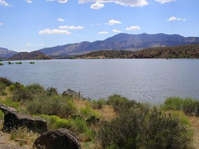
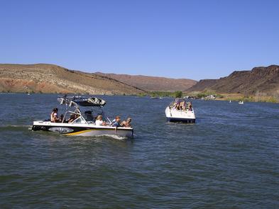
Utah State Parks: Boat, fish, and swim on the tranquil waters at Gunlock Reservoir or enjoy an afternoon picnic on the beach. Warm waters during summer and a mild winter climate make the park a year-round destination. The county road to the park is the Old Spanish Trail used by horsemen and raiders from Sante Fe, New Mexico to Los Angeles from the 1820 s until the gold fields became the destination after 1849 and a shorter route was taken.
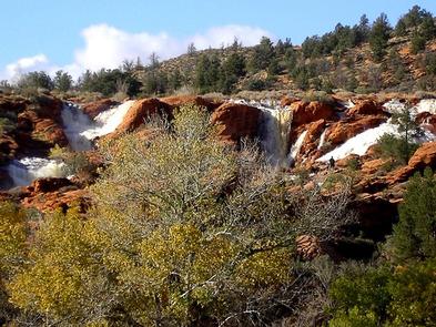
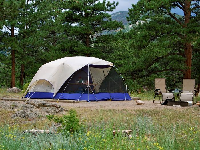
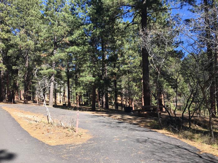
Nearby St. George offers big city amenities such as championship golf and outlets in the warm climate of southwestern Utah. Visitors to Gunlock can continue south on Old 91 to visit the Beaver Dam Wash National Conservation Area and the northernmost Joshua Trees in North America or return east to see the Santa Clara River Reserve or Snow Canyon State Park. Zion National Park is 90 minutes east. There are no reservable campsites, but there are 5 first-come, first-served sites in a campground with a vault toilet or camping on beaches.

