Directions
Directions to Monte Vista Refuge: Drive south on State Hwy 15 (Gunbarrel Road) for 6 miles to the entrance of the auto tour route. The small office and visitor contact station at the Refuge is located at the start of the auto tour route. The visitor contact station is volunteer run and not open most days. For more information, please call us at 719-589-4021.
Phone
719-589-4021
Activities
AUTO TOURING, HIKING, HUNTING, WILDLIFE VIEWING, ENVIRONMENTAL EDUCATION, PHOTOGRAPHY
Camping Reservations
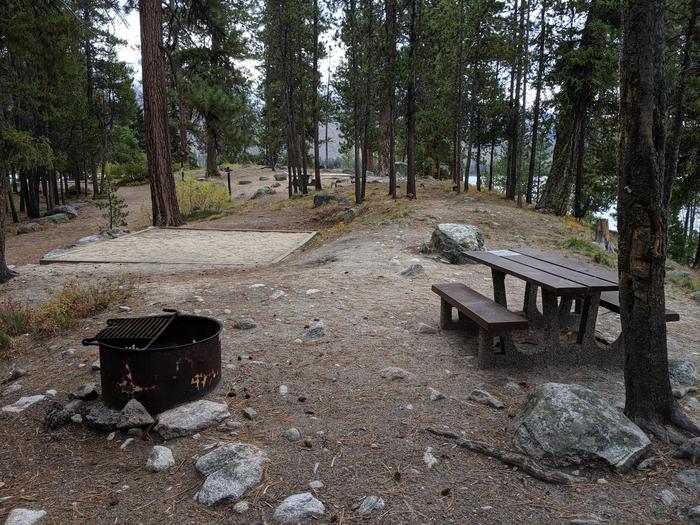
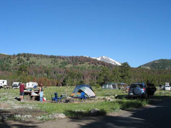
Reserve your campsite at these camping areas:
Hiking Trails
Looking for nice hiking areas to take a hike? Choose from these scenic hiking trails:
Related Link(s)
More Colorado Recreation Areas
Monte Vista National Wildlife Refuge
Monte Vista National Wildlife Refuge is located in the San Luis Valley, a high mountain basin located in south-central Colorado. It™s one of three national wildlife refuges in the Valley that provides crucial feeding, resting, and breeding habitat for over 200 bird species and other wildlife. Alamosa and Monte Vista Refuges are located at the south-central end of the Valley and Baca Refuge is located at the north end.
The Valley, sitting at 7,800 feet, extends over 100 miles from north to south and 50 miles from east to west. Three mountain ranges surround the Valley “ the Sangre de Christo to the east, the San Juan to the west, and the Saguache to the north. At sunset, the highest peaks of the Sangre de Christo range take on a blood red glow which inspired the Spanish explorers to name them after the Blood of Christ.
The surrounding mountains feed the arid valley with precious surface water and replenish an expansive underground reservoir. The mountain snow melt and artesian wells provide needed water to the agricultural community and to the rivers, creeks, and wetlands that thread across the valley floor.
The Refuge™s wetlands are artificially made and intensively managed to provide habitat for a variety of waterfowl and other water birds. Water from irrigation canals and wells maintain this important wetland habitat. Mallards, pintails, teal, and Canada geese are common, as are American avocets, killdeer, white-faced ibis, egrets, and herons.