Directions
The refuge entrance is located 15 miles east of Toledo/Oregon and 16 miles west of Port Clinton on State Route 2. From I80/90 westbound, take exit 91; follow State Route 19 north to State Route 2; follow State Route 2 west 3 miles to the entrance road on the right. From I80/90 eastbound, take exit 81; follow State Route 105 east to State Route 590; follow State Route 590 north to State Route 2; follow State Route 2 east 2 miles to the entrance road on the left. The half-mile entrance road is located on the north side of State Route 2.
Phone
419-898-0014
Activities
INTERPRETIVE PROGRAMS, HIKING, HUNTING, WILDLIFE VIEWING
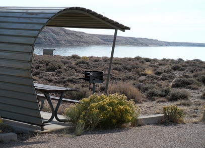
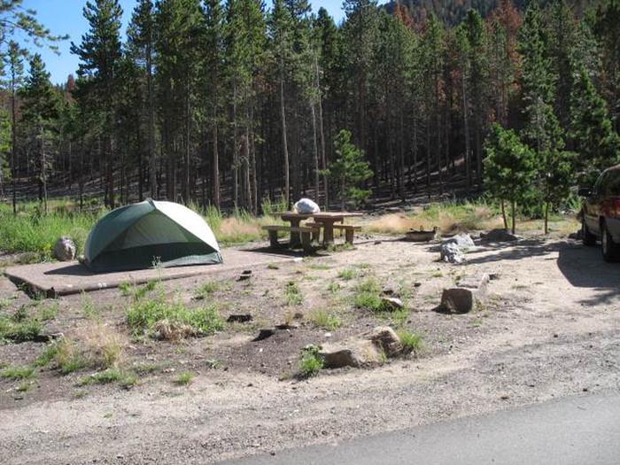
Camping Reservations
Reserve your campsite at these camping areas:
Hiking Trails
Looking for nice hiking areas to take a hike? Choose from these scenic hiking trails:
Related Link(s)
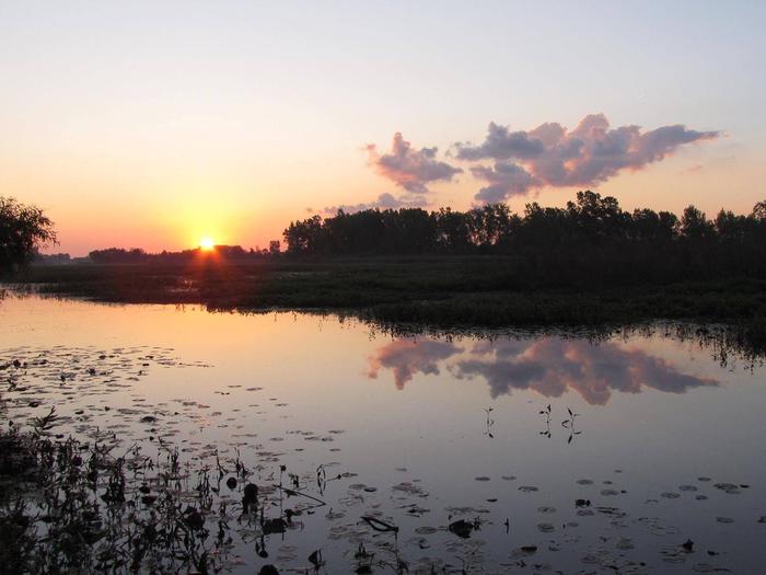
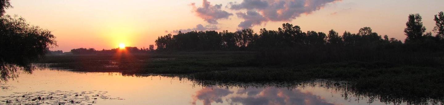
The Ottawa National Wildlife Refuge was established in 1961 to preserve habitat for migrating birds. Staff at the refuge also manage Cedar Point and West Sister Island refuges. The three refuges together now protect approximately 9,000 acres of habitat and some of the last remnants of the “Great Black Swamp” in the heart of the Lake Erie marshes. The Lake Erie Marsh Region has historically been important to fish, migratory waterfowl, songbirds, and shorebirds. Up to 70 percent of the Mississippi Flyway population of black ducks can be found in the Lake Erie marshes during the fall migration. Large numbers of migrating songbirds stop in the area to rest during their spring migration. This amazing wildlife spectacle attracts a large number of visitors from across the country. Ottawa Refuge has been designated as a site of regional significance in the Western Hemisphere Shorebird Reserve Network. In 2002, “Birders World” readers voted the refuge as one of their Top 15 favorite spots to see birds, and the American Bird Conservancy has identified the refuge as an Important Bird Area.