Directions
Sabine NWR is located about 22 miles south of Sulphur, Louisiana. Take Exit 20 off of Interstate 10 in Sulphur. Turn south on Highway 27 and proceed south through Hackberry. The Refuge Headquarters/Visitor Center is located approximately 8 miles south of Hackberry on the East side of Highway 27.
Phone
337-762-3816
Activities
BOATING, INTERPRETIVE PROGRAMS, FISHING, HIKING, HUNTING, VISITOR CENTER, WILDLIFE VIEWING
Camping Reservations
Reserve your campsite at these camping areas:
Hiking Trails
Looking for nice hiking areas to take a hike? Choose from these scenic hiking trails:
Related Link(s)
More Louisiana Recreation Areas
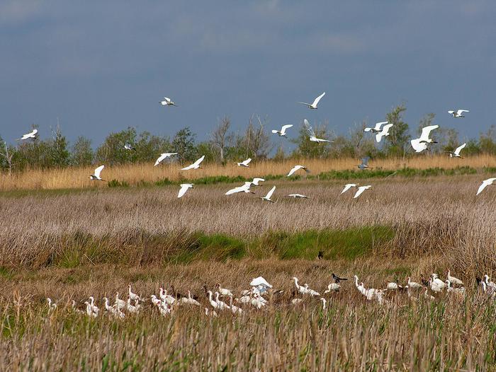
Sabine NWR,about 8 miles south of Hackberry, on State Highway 27, was established in 1937 to provide habitat for migratory waterfowl and other birds. The refuge consists of a basin of wetlands located between the Gulf’s beach cheniers (oak ridges)and the coastal prairie, which is one of the most productive and fertile areas of North America. It encompasses 124,511 acres of fresh,intermediate and brackish marshes and is one of the largest estuarine-dependent marine species nurseries in southwest Louisiana. It has also been designated as an “Internationally Important Bird Area” due to the numerous wading, water and marsh birds that utilize it throughout the year. Over 280,000 people visit the refuge annually. The exhibits in the refuge visitor center and the Wetland Walkway are considered two of the principal tourist attractions in southwest Louisiana. The refuge is an integral part of the Creole Nature Trail All American Road


