Directions
Launch sites for the Labyrinth Canyon trip are Green River State Park or Ruby Ranch (Ruby Ranch is private property and there is a fee)
The takeout is at Mineral Bottom. To access the takeout from Utah Highway 191 travel west on Utah Highway 313 for 13 miles. Turn west on a road signed “Mineral Bottom Road”. The river is located about 15 miles west on this dirt road. Note: the last part of the drive descends steep switchbacks down to the river.
Phone
435-259-2100
Activities
BOATING, CAMPING, WATER SPORTS
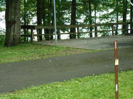
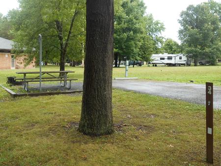
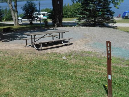
Camping Reservations
Reserve your campsite at these camping areas:
Hiking Trails
Looking for nice hiking areas to take a hike? Choose from these scenic hiking trails:
Related Link(s)
General Information
Permits are required for all boating trips in Labyrinth Canyon. River recreation in Labyrinth Canyon is jointly managed by the U.S. Bureau of Land Management and the Utah Division of Forestry, Fire and State Lands. These agencies have adopted one set of regulations for river recreation and have joint enforcement responsibility. The Moab Field Office is the official public contact point for Labyrinth Canyon information and permits.
How to Obtain a Permit
Permits can be downloaded from this website and emailed to: blm_ut_labyrinth@blm.gov ( take a hard copy with you for the trip). The approved permit must be in the trip leader’s possession while in Labyrinth Canyon and all permit stipulations must be followed. Contact the Moab BLM Field Office for further information: 435-259-2100.
Trip Information
A trip through Labyrinth Canyon on the lower Green River can be enjoyed almost any time of the year, except in winter when there may be ice on the river. It is an easy, flat-water stretch suitable for canoes, kayaks, and rafts of all types. The heaviest use is between Easter and Labor Day. Motorized craft occasionally use this portion of the river. Be aware that during low water motorboats must share the narrow channel. The river level fluctuates throughout the summer. Peak runoff from mountain snowmelt generally occurs from the end of May to mid-June. The water flow gradually decreases to its low point in the fall and winter. July and August are the hottest months and afternoon thunderstorms are common during this period.A minimum of three to four days should be allowed for the 68 river miles from Green River to Mineral Bottom. An alternative launch from Ruby Ranch results in a 45-mile trip (hours are sunrise to sunset, daily. Fees are $5.00 per person, $10.00 per boat). Much of the land between the city of Green River and Ruby Ranch, 23 miles downstream, is privately owned. Below Ruby Ranch, most of the land is state or federally managed.
Camping regulations are on the permit and Utah State boating and fishing regulations apply.The area is remote and services are non-existent. Your group must be self-contained and self-reliant to deal with emergencies. Cell phone service is not available within the canyons. Plan to carry all your drinking water.
The usual take-out is at Mineral Bottom. Access to Mineral Bottom is via Highway 313 north of Moab. A sign marks the turnoff to Mineral Bottom (approximately 14 miles up Hwy 313). The 17 miles of dirt road to the take-out are usually in good condition, but can be very slick and even impassible when wet. This road is best suited to vehicles with high ground clearance, especially the switchbacks and last mile to the take-out.Contact Information
River Office Phone: (435) 259-7012
River Office Hours: 8:00am – 12pm (MDT), Monday – FridayEmail: blm_ut_labyrinth@blm.gov
Link to Labyrinth Canyon River Permit https://www.blm.gov/sites/blm.gov/files/documents/files/Recreation_Utah_LabyrinthPermit_6-28-17.pdf