Directions
About 25 miles southwest of Enterprise, Ut. Take UT-219W, onto FR006/Veyo Shoal Creek Rd, then take a right onto FR003 until wilderness is reached.
Phone
435-688-3200
Camping Reservations
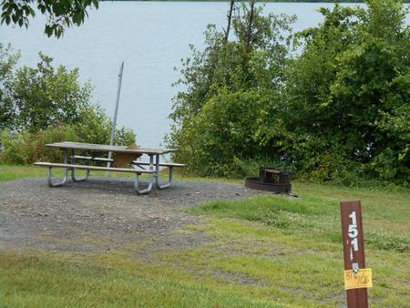
Reserve your campsite at these camping areas:
Hiking Trails
Looking for nice hiking areas to take a hike? Choose from these scenic hiking trails:
Related Link(s)
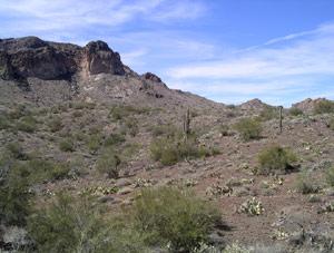
Cougar Canyon, Doc™s Pass, and Slaughter Creek Wilderness areas are clustered along the Nevada state line, in the remote northwest corner of Washington County. The three units, which total over 31,600 acres, are contiguous with wildlands in Nevada and roadless areas of the Dixie National Forest in Utah, creating an extensive wilderness. The rugged terrain of the Bull Valley Mountains typifies the core areas of the three wilderness areas. Steep-sided canyons and mountain peaks, composed of Miocene age volcanic lava flows, ash-fall tuffs and mudflow breccias, are densely covered with pinyon pine, Utah juniper, manzanita, and scrub oak. Beaver Dam Wash, a perennial stream in its upper reaches, flows through the Cougar Canyon and Doc™s Pass Wilderness areas while Slaughter Creek flows through its namesake wilderness. Many species of song birds and raptors can be viewed in the native willows and cottonwood trees that grow in the riparian zones. Beaver Dam Wash also supports native trout and the Virgin spinedace, a native minnow-like species. A wide variety of mammals roam here including elk, mule deer, mountain lion, ringtail, bobcat, badger, and both the common and kit fox. Visitors to these three wilderness areas will experience scenic vistas and outstanding opportunities for backpacking, horseback riding, and primitive camping. This part of Washington County is rugged and remote. Visitors should plan carefully and be prepared for backcounty travel conditions.