Directions
About 60 miles north of Virgin, UT and about 35 miles northwest of Mt Carmel Junction, UT. Access via N Fork County Rd.
Phone
435-688-3200
Camping Reservations
Reserve your campsite at these camping areas:
Hiking Trails
Looking for nice hiking areas to take a hike? Choose from these scenic hiking trails:
Related Link(s)
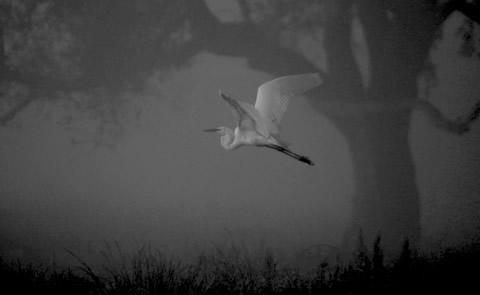
Deep Creek Wilderness and Deep Creek North Wilderness These two contiguous units, containing approximately 7,500 acres of public land, are located near the northeast corner of Zion National Park. In fact, Deep Creek Wilderness shares its 3 mile southern border with the Park. The elevation ranges from a low of 6,000 feet in Deep Creek Wilderness to a high of 6,800 feet in Deep Creek North Wilderness, creating an environment for dense stands of trees and shrubs. The perennial stream of Deep Creek flows for approximately 4.8 miles through the Deep Creek Wilderness and was designated as a wild river segment for inclusion in the National Wild and Scenic River System through the Omnibus Public Land Management Act of 2009. Approximately 1.2 miles of two tributaries to the North Fork of the Virgin River also flow through the Deep Creek Wilderness and have been designated as wild rivers. Deep Creek North Wilderness contains numerous drainages: Crystal Creek, Big Oak Wash, Deep Creek, and several unnamed drainages. The area just outside the Deep Creek North Wilderness is dotted with springs. This extensive cover, availability of water, and a contiguous landscape of wildlands, creates habitat for a wide variety of animals. Mule deer, elk, mountain lion, and bobcat are the larger animals that make a home here. Just a few of the smaller mammals include badgers, marmots, and ringtail. Numerous birds species can be observed in the wilderness with some of the more interesting being golden eagle, screech owl, chukar partridge, and wild turkey. The remote canyons of the wilderness provide suitable nesting habitat for the Mexican spotted owl, a threatened species.

