Listen
Directions
11 miles east of State Route 95 at milepost 17
Phone
(435) 542-3461
Activities
AUTO TOURING, HIKING, PHOTOGRAPHY
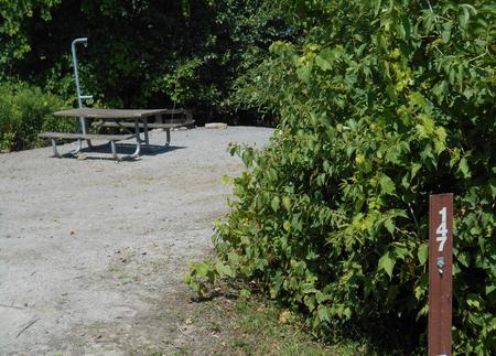
Camping Reservations
Reserve your campsite at these camping areas:
Hiking Trails
Looking for nice hiking areas to take a hike? Choose from these scenic hiking trails:
Related Link(s)
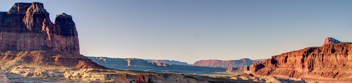
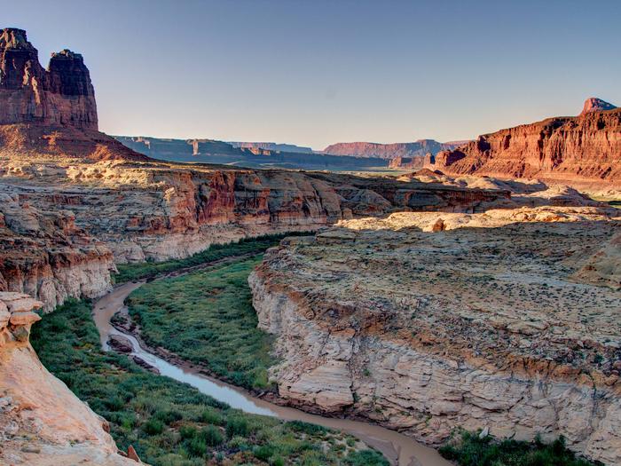
The dirt access route runs easterly across the Burr Desert flat lands ending at the cliff tops of the Dirty Devil River. Views across, up, and down the canyon are stunning and have as backdrops the Abajos, the La Sal, and the Henry Mountains. Burr Point Overlook is also occasionally used as a trailhead to access the Dirty Devil River. This access however has been described as challenging, techincal, and risky. There are no developed facilities at Burr Point Overlook.