Directions
Charles M. Russell NWR is located about 150 miles northeast of Billings, Montana. The headquarters for the Refuge Complex is located in Lewistown. From Great Falls, follow U.S. Highway 87 east for 100 miles to Lewistown. Turn right onto Airport Road. From Billings, follow U.S. Highway 87 north to Grass Range and then west to Lewistown for 130 miles. Turn left onto Airport Road. The Refuge headquarters is located about 1 mile up the road to the left. Three staffed field stations are located around the Refuge. Sand Creek Wildlife Station is located 2 miles south of the Missouri River on the east side of U.S. Highway 191. Jordan Wildlife Station is located south of Montana Highway 200 in the town of Jordan. Fort Peck Wildlife Station is located east of Montana Highway 24 in the town of Fort Peck.
Phone
406-538-8706
Activities
AUTO TOURING, BOATING, HISTORIC & CULTURAL SITE, INTERPRETIVE PROGRAMS, FISHING, HIKING, HUNTING
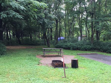
Camping Reservations
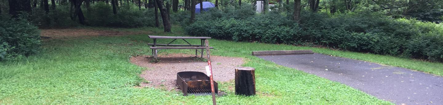
Reserve your campsite at these camping areas:
Hiking Trails
Looking for nice hiking areas to take a hike? Choose from these scenic hiking trails:
Related Link(s)
UL Bend National Wildlife Refuge
UL Bend NWR, a “refuge-within-a-refuge,” lies within Charles M. Russell NWR and contains 20,000 acres of designated wilderness. The Refuge complex also contains Hailstone, Halfbreed, Lake Mason, and War Horse NWRs. These small satellite refuges are scattered throughout central Montana and were established primarily to protect wetlands for migratory birds and waterfowl. Several waterfowl production areas are also managed as part of the Refuge complex. Visitors will find spectacular examples of native prairie, forested coulees, river bottoms, and “breaks” badlands. Elk, mule deer, pronghorn, bighorn sheep, sage and sharp-tailed grouse, and bald eagles make the Refuge home. The Refuge’s namesake famously portrayed the rich diversity of native wildlife and habitats of the area in many of his paintings.