Directions
The Bradfield Bridge Recreation Site is the furthest upstream of several access points and can be accessed from County Road R off of Highway 491 (on the northern end of the town of Cahone, Co). Turn East off of CR R and drive approximately 3 miles to County Road 16. Turn South on CR16 and drive approximately 1.25 miles to County Road S. Turn East on CR S and drive approximately 1 mile to the entrance to Bradfield Bridge Recreation Site.
Phone
TRFO: 970-882-7296 or UFO: 970-240-5300
Activities
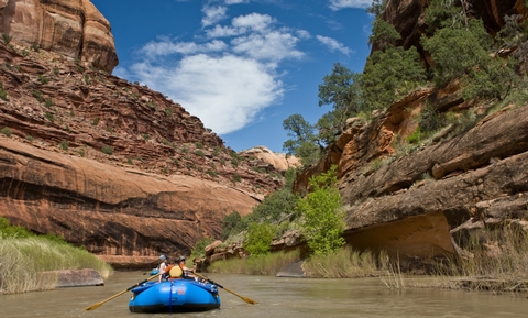
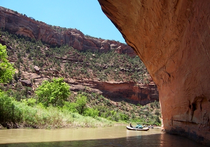
BOATING
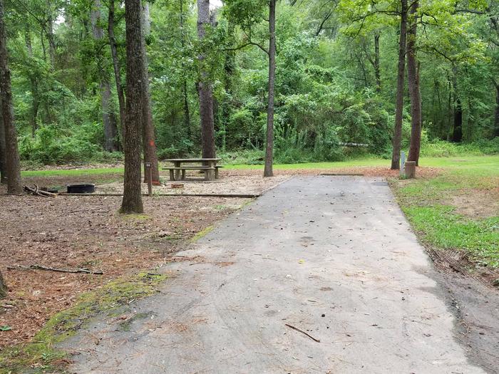
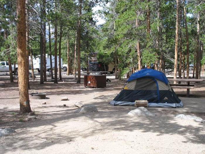
Camping Reservations
Reserve your campsite at these camping areas:
Hiking Trails
Looking for nice hiking areas to take a hike? Choose from these scenic hiking trails:
Related Link(s)
More Colorado Recreation Areas
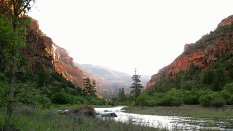
BLM Dolores River Recreation Area
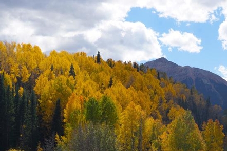
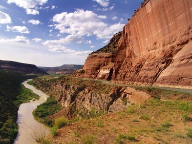
This 102 mile stretch of river carves its way through broad valleys and incised canyons with sheer canyon walls. The river passes through multiple ‘special areas’ including a Wilderness Study Area, a Special Recreation Management Area, and Lands managed for Wilderness Characteristics. Whitewater boating ranges from flatwater to Class IV rapids (Snaggletooth Rapid), with access points at Bradfield Bridge, Mountain Sheep Point, and Gypsum Valley recreation sites. Depending on private land owner approval access may also be provided at Slick Rock. The Lower Dolores is situated below McPhee Reservoir and therefore flow is based on release from the McPhee Dam. Flows can be as low as about 10cfs or as high as 5000 cfs and downstream releases are dependent upon the ability to fill the reservoir. Ideal boatable flows are at least 200 cfs for canoes and kayaks, 800 cfs for rafts up 14 feet, and 1,000 cfs for rafts larger than 14 feet. The ‘sweet spot’ is generally considered to be between about 1,200 cfs and 2,000 cfs. In many years, there are no boatable releases. However, if releases due occur, they are generally between the middle of April and the middle of June. For more information, please contact the Tres Rios or Uncompahgre Field Office.