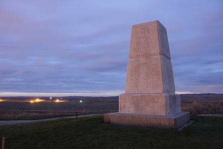

Directions
There are three public roads that access this area.
Spring Creek: Take I-70 to the Gypsum exit and travel east on Highway 6 about .5 mile. Turn right (south) on Valley Road for about .5 mile, then left (east) on Cooley Mesa Road. Go about 1.5 miles and turn right (south) on Spring Creek Rd. Go about 1 mile, then turn left on BLM Road 8380. No parking, camping or shooting is permitted for the first .5 mile.
BLM Road 8384: Take I-70 to the Gypsum exit and travel east on Highway 6 about .5 mile. Turn right (south) on Valley Road for about .5 mile, then left (east) on Cooley Mesa Road. Travel approximately 3 miles and turn right on BLM Road 8384.
Hardscrabble Road: Take I-70 to the Eagle exit. Travel west on Highway 6 for approximately 1 mile and turn right (south) on Brush Creek Road. Go about 5 miles and turn right on Hardscrabble Road.
Phone
(970) 876-9000
Activities
OFF HIGHWAY VEHICLE
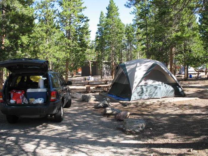
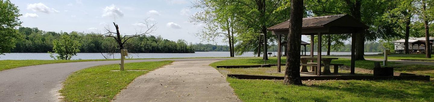
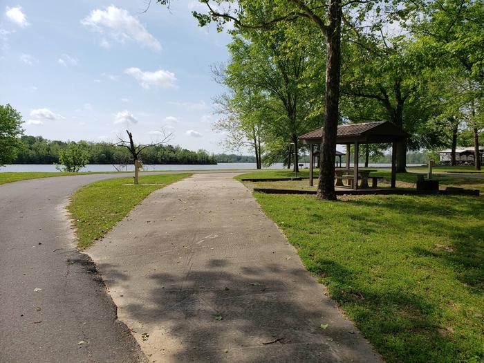
Camping Reservations
Reserve your campsite at these camping areas:
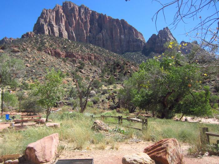
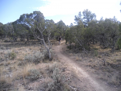
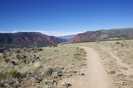
Hiking Trails
Looking for nice hiking areas to take a hike? Choose from these scenic hiking trails:
Related Link(s)
More Colorado Recreation Areas
The North Hardscrabble OHV Area – Dual Sport Day Trips
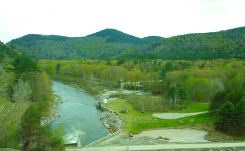
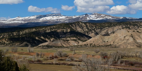
Hardscrabble Special Recreation Management Area (SRMA) is located between Gypsum and Eagle, and has become a trail mecca for both motorized and non-motorized users. The SRMA is divided into two Recreation Management Zones (RMZs). Mountain bikers can enjoy single track routes in the Eastern RMZ which surrounds Eagle; ATV and motorcycle riders have many routes designated for their use in the western RMZ near Gypsum; and hikers are able to explore the entire area with multiple difficulty levels of trail opportunities. Camping is allowed outside of the Spring Creek area and in previously disturbed sites. The area spans many different soil types and biota zones from gypsum soil scrublands to aspen laden highlands. The area has a winter closure to protect wintering wildlife from December 1st to April 15th. For more information, please contact the Colorado River Valley Field Office.