N.F. Shoshone, Wyoming Camping & Hiking

N.F. Shoshone, Wyoming Camping & Hiking

N.F. Shoshone Image Gallery

Listen

Directions

Head west on US Highway 14,16,20 out of Cody through the tunnels all the way to Pahaska.

Phone

(307) 578-5900

Activities

AUTO TOURING, BOATING, FISHING, WILDLIFE VIEWING

Camping Reservations

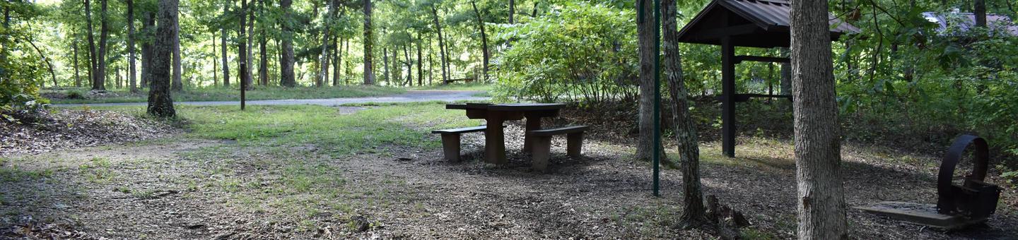
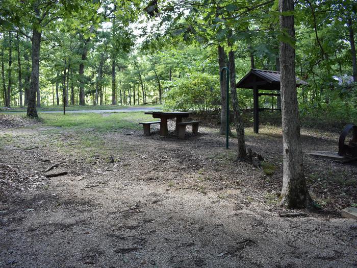
Reserve your campsite at these camping areas:

Wyoming Campgrounds

Hiking Trails

Looking for nice hiking areas to take a hike? Choose from these scenic hiking trails:

Wyoming Hiking Trails

North Fork Shoshone R Access

Trout Creek BB St. Pk.

Stagecoach Trl Fishing Access

Related Link(s)

More Wyoming Recreation Areas

BLM Wyoming YouTube

BLM Wyoming Facebook Page

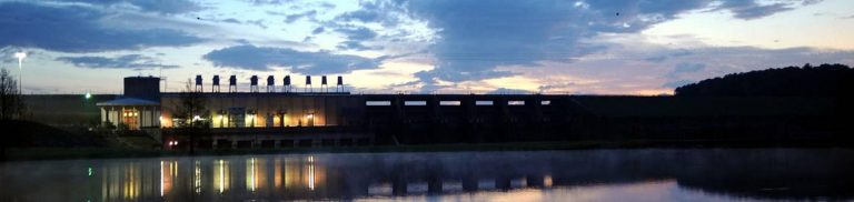
The North Fork Shoshone River begins its journey on the slopes of Stinkingwater Peak high in the Absaroka Mountains managed by the Shoshone National Forest and drains down the North Fork into Buffalo Bill Reservoir.

The North Fork Highway, the road to Yellowstone’s East Gate, follows the North Fork from Buffalo Bill Dam Visitor Center all the way to Pahaska.

The BLM manages parcels of public accessible lands along the North Fork, which offers opportunities for fishing, boating, sightseeing, and hiking.

More from CampingHiking.net:

Barkley Lake, Kentucky Camping & Hiking

Listen Directions From Louisville, south on I-65 to Western Kentucky Parkway, 13 miles west on US 62 through Eddyville. Phone (270) 362-4236 Activities AUTO TOURING, BIKING, BOATING, CLIMBING, HISTORIC &

Enders Reservoir, Nebraska Camping & Hiking

Listen Directions Site is located 2 miles east of Enders, Nebraska near U.S. 6. Phone 308-394-5118 Activities BOATING, CAMPING, FISHING, HUNTING, PICNICKING, WINTER SPORTS, RECREATIONAL VEHICLES, WATER SPORTS, WILDLIFE VIEWING