
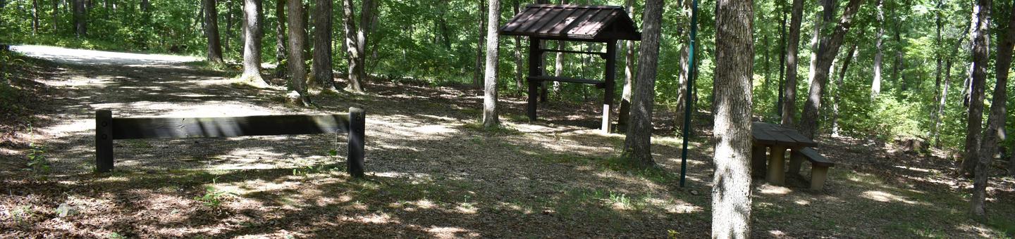
Directions
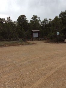
The trail system is located about a couple of miles northwest of Norwood, Colorado via paved and dirt roads. Passenger cars can access any of the trails under most road conditions. From Norwood™s main street (Grand Avenue): Travel to the far west end of Grand Avenue; follow the highway as it curves to the right; pass the fairgrounds on your right. Turn left at the first opportunity AA42 Road (also known as W35 and Norwood Burn Road); follow this road for about 2.9 miles. It passes the Pioneer Village subdivision and Elder™s junkyard. This Road changes to Norwood Burn Road. Continue on this road as it takes switchbacks into a canyon. Continue on the same road up a hillside and around some switchbacks where after climbing the hill you will find a parking area on your right. The trail head for the Burn Canyon Trail Loops start here.
Phone
970-240-5300
Activities
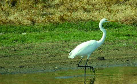
BIKING, HIKING, HORSEBACK RIDING, OFF HIGHWAY VEHICLE
Camping Reservations
Reserve your campsite at these camping areas:
Hiking Trails
Looking for nice hiking areas to take a hike? Choose from these scenic hiking trails:
Related Link(s)
More Colorado Recreation Areas
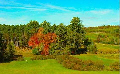
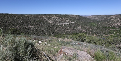
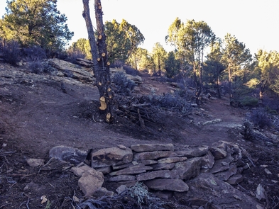
The Canyon Trail System is located just a few miles southwest of Norwood, Colorado. The area offers beautiful views of deep canyons with large cottonwoods and junipers, as well as mesa tops with panoramic views of Lone Cone Mountain, the La Sal Mountains of Utah, and the majestic San Juan Mountains. The upper parking lot provides access to the Burn Canyon MTB trails and the McKee Draw hiking trails. The first loop from the parking area is Buttermilk Loop. It is an easy warm-up loop suitable for all ages and abilities. The larger Pinyon Point Loop is a continuation of Buttermilk Loop and offer great views of Burn Canyon, Naturita Canyon and the mouth of McKee Draw. North from Pinyon Point Loop the Old Nelson Cut-off passes along the edge of Hideout Canyon and connects to the other two loops in this trail system. Cedar Post Loop is a fun, fast, smooth loop. Hideout Canyon is a continuation of Cedar Post Loop that is the most challenging loop in this trail system. It offers good views of Burn Canyon and the La Sal Mountains in Utah. Posey™s Spur Trail connects back to W35 road for an easy out back to the parking area.