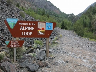
Directions
From Lake City enter the Alpine Loop on either County Road 30 or County Road 20. From Silverton enter the Alpine Loop on County Road 2. From Ouray enter the Alpine Loop on County Road 18.
Phone
970-642-4940
Activities
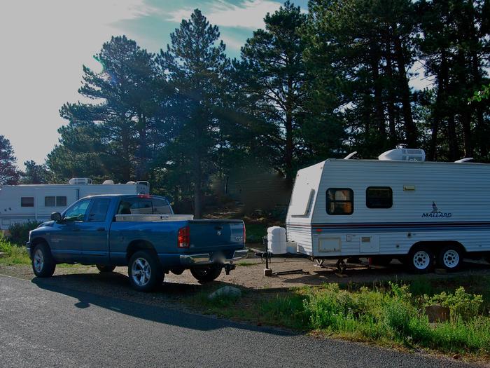
CAMPING, HIKING, OFF HIGHWAY VEHICLE
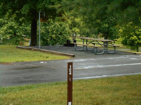
Camping Reservations
Reserve your campsite at these camping areas:
Hiking Trails
Looking for nice hiking areas to take a hike? Choose from these scenic hiking trails:
Related Link(s)
More Colorado Recreation Areas
Colorado Scenic Byway: Alpine Loop
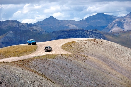
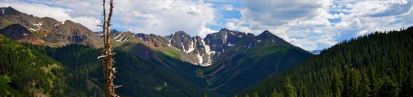
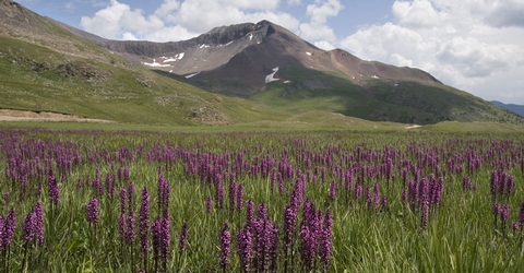
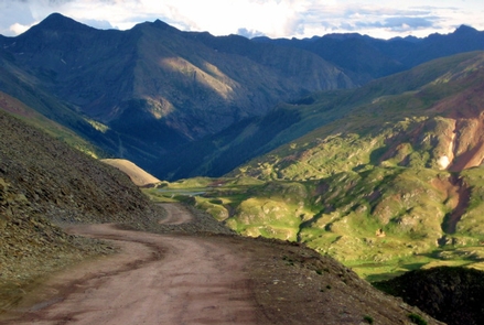
Exploring the Alpine Loop National Back Country Byway
The Alpine Loop is truly a backcountry experience. Make sure someone knows your travel plans and do your homework before you start your trip. Make sure you have plenty of water, food and fuel to make it to your destination. Electronics and wireless devises DO NOT work in most places on the Alpine Loop. It is recommended that you download or print hard copy maps prior to your trip. The Alpine Loop Backcountry Byway is a rugged 4×4 road that winds through the spectacular scenery of the San Juan Mountains, connecting Lake City, Silverton, and Ouray. The Alpine Loop byway traverses passes up to 12,800 feet while showcasing old mines, ghost towns, natural wonders, beautiful wildflowers, and abundant wildlife. Alpine Loop is an avenue for exploring nature and history amidst thrilling views and stunning geography. Tackling the loop in its entirety is easily an all-day experience event. However, the main loop is only part of the experience; miles of designated side routes allow visitors to either take a short tour or extend their trip to multiple days. For more information, please contact the Gunnison Field Office.