Directions
Located between Hot Sulphur Springs and Granby, to the North of US Highway 40 and West of Highway 125. Two trailhead offer access to the network of trails. For Jacques Trailhead, travel East on US 40 from Hot Sulphur Springs for approximately 5 miles and turn North onto Jacques Road for .7 miles to the end of the road at the trailhead parking area. For Hogback trailhead, turn North onto State Highway 125 approximately 7.5 miles East of Hot Sulphur springs and proceed 3.25 miles to the Hogback Trailhead on the West side of the highway. Hogback trailhead has no developed parking are. Do not block access to the trail.
Phone
970-274-3000
Activities
HIKING, HORSEBACK RIDING
Camping Reservations
Reserve your campsite at these camping areas:
Hiking Trails
Looking for nice hiking areas to take a hike? Choose from these scenic hiking trails:
Related Link(s)
More Colorado Recreation Areas
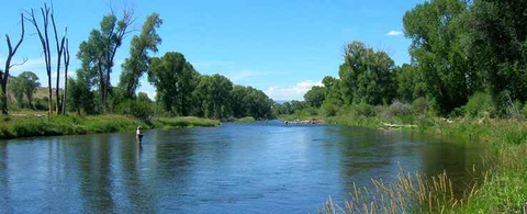
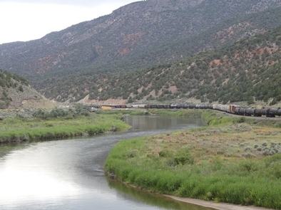
Colorado Scenic Byway: Colorado River Headwaters
Colorado River Headwaters – Scenic and Historic Byway
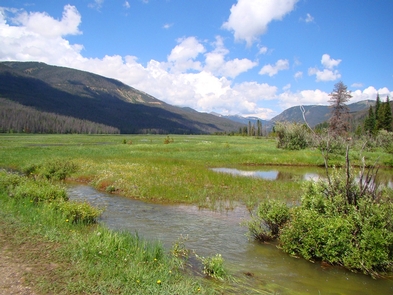
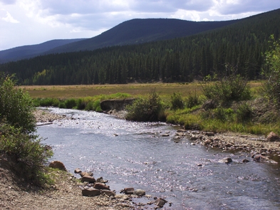
Headwaters is restricted to foot and horse travel only. It receives extensive equestrian use. Other forms such as biking or motorized vehicles are prohibited, providing a quiet and primitive recreation opportunity. The trail network includes 28 miles of interconnecting trails over and across ridges and creeks. Trails pass through Sagebrush Steppe, Aspen Groves and Forest, with views overlooking the Colorado River Valley. For more information, please contact the Kremmling Field Office.