Directions
It is possible to reach the WSA by foot or horseback via a 9 mile route through State and BLM lands off Fortification Road (a county road). Before attempting this route, please contact the Buffalo Field Office for information.
Phone
307-684-1100
Activities
FISHING, HIKING, HORSEBACK RIDING, HUNTING, WILDLIFE VIEWING, PHOTOGRAPHY
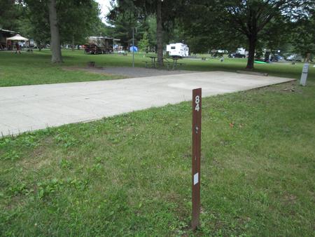
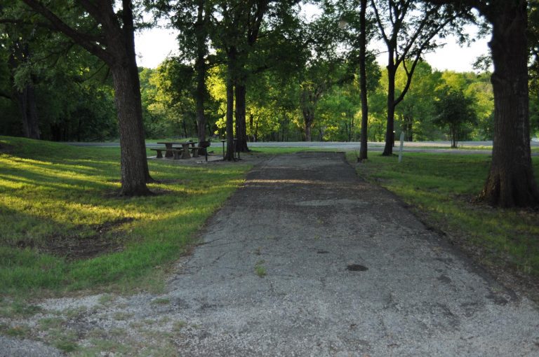
Camping Reservations
Reserve your campsite at these camping areas:
Hiking Trails
Looking for nice hiking areas to take a hike? Choose from these scenic hiking trails:
Related Link(s)
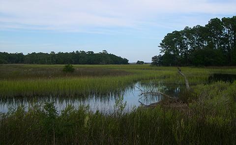
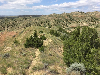
The Fortification Creek Wilderness Study Area (WSA) encompasses 12,419 acres of public land and a 640 acre inholding of state land. The landscape of the WSA is a steeply sloping, highly dissected and gullied terrain. Narrow ridges and numerous drainages dominate the area. Moderate to heavy stands of juniper are found in the larger drainages, with sagebrush and grasses on the open slopes and flats. The area is crucial winter range for elk.
The combination of size and ruggedness of terrain in the WSA affords outstanding opportunities for primitive and unconfined types of recreation. Opportunities exist for hiking, backpacking, hunting, horseback riding, and sightseeing.
There is no direct public access to the WSA. Access is controlled by adjacent private landowners and landowner permission is required to cross any private lands. It is possible to reach the WSA by foot or horseback via a 9 mile route through State and BLM lands off Fortification Road (a county road). Before attempting this route, please contact the Buffalo Field Office for information.