Directions
North Fork: From Prineville, Oregon, drive southeast for 35 miles on the Post-Paulina Highway (OR 380). Turn left on Teaters Road and proceed 1.4 miles to an unnamed gravel road on the left. Drive approximately 6.2 miles to the seasonal gate at Telephone Springs. From here, you can park and hike or take one of the rough spur ways towards the river.
Chimney Rock Segment: From Prineville, Oregon, drive 12 miles south on the Crooked River Highway (OR 27). The wild and scenic segment begins here and continues south 7.3 miles to Bowman Dam.
Lower Crooked River: From Terrebonne, Oregon, drive 0.5 miles north on The Dalles-California Highway (US97). Turn left onto NW Lower Bridge Way/Lower Bridge Market Rd for 2.2 miles. Turn right onto NW 43rd St and drive 1.8 miles. Turn left onto NW Chinook Drive and proceed for 5.1 miles. Then NW Chinook Dr turns slightly right and becomes SW Horny Hollow Trail; drive another 1.8 miles and continue straight to stay on SW Horny Hollow Trail. The Otter Bench Trailhead offers several access trails to the river.
Phone
541-416-6700
Activities
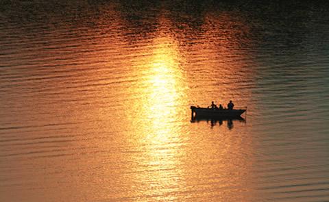
AUTO TOURING, BIKING, FISHING, HIKING, PICNICKING, WILDLIFE VIEWING, FISH VIEWING SITE
Camping Reservations
Reserve your campsite at these camping areas:
Hiking Trails
Looking for nice hiking areas to take a hike? Choose from these scenic hiking trails:
Related Link(s)
Crooked Wild and Scenic River at blm.gov
Photo Album of the Crooked Wild and Scenic River
National Conservation Land’s Crooked Wild and Scenic River Site
Crooked River Canyon Scenic Bikeway
Friends and Neighbors (FANs) of the Deschutes Canyon Area
Overview:
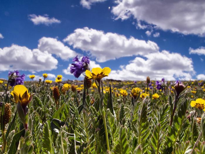
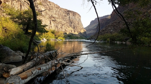
Central Oregon™s Crooked Wild and Scenic River flows from the forested heights of the Ochoco Mountains to the high desert near Lake Billy Chinook at its confluence with the Deschutes River. The wild and scenic portion of the Crooked river spans 61 miles in three reaches: the North Fork, the Chimney Rock segment and the Lower Crooked River.
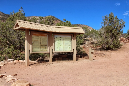
Know Before You Go:
- Nine non-reservable campgrounds and two day-use areas provide easy year-round access to the Chimney Rock segment south of Prineville, Oregon.
- Fires are prohibited annually from June 1 through October 15 in the Lower Crooked River segment.
- Accessible fishing platforms are available at Palisades and Chimney Rock campgrounds.
- A seasonally-open gate at Telephone Springs limits motorized access to the North Fork of the Crooked River annually from April 30 through December 1.
Point of Interest:
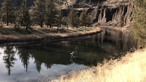
A world-class fishery is located below Bowman Dam along the Chimney Rock segment. Fly fishers enjoy plenty of easy access along the adjacent Crooked River Back Country Byway.
For a different view, visitors can ride the 18-mile Crooked River Canyon Scenic Bikeway from Prineville to Big Bend Campground. Designated in 2018, this moderate route takes riders from picturesque farms to towering cliffs.