Directions
The Deschutes River runs north through Central Oregon and meets the Columbia River east of The Dalles. The river can be accessed via U.S. 97, U.S. 197, and U.S. 26.
Phone
541-416-6700
Activities
AUTO TOURING, BIKING, CLIMBING, HISTORIC & CULTURAL SITE, CAMPING, FISHING, HIKING, HUNTING, PICNICKING, WILDLIFE VIEWING, FISH HATCHERY, PHOTOGRAPHY, PADDLING, SWIMMING
Camping Reservations
Reserve your campsite at these camping areas:
Hiking Trails
Looking for nice hiking areas to take a hike? Choose from these scenic hiking trails:
Related Link(s)
Getting a Deschutes River Boater Pass
Lower Deschutes River Maps, Mile Markers, GPS Coordinates, and more
Lower Deschutes Wild and Scenic River at rivers.gov
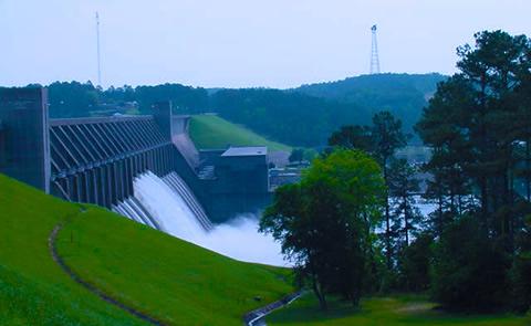
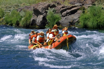
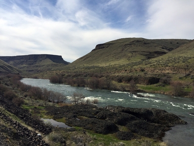
The Deschutes River was designated an Oregon Scenic Waterway in 1970 and a Federal Wild and Scenic River in 1988. The river runs through a deep rimrock-lined canyon that ranges from 900 feet to 2,600 feet in depth. The elevation drops from 1,393 feet at Pelton Reregulation Dam to 160 feet at its confluence with the Columbia River. The average gradient is 13 feet per mile and is relatively constant throughout its length. The most significant drops in gradient are Sherars Falls (River Mile 44), with a vertical drop of 15 feet, and Whitehorse Rapids (River Mile 75), with a vertical drop of approximately 35-40 feet over one mile. Within this canyon you will experience an incredible geologic and cultural history and a diverse community of fish, wildlife and vegetation. The Deschutes River is an increasingly popular river for all kinds of recreationists. Thousands of people visit each year to enjoy its incredible fishing, exciting whitewater, and beautiful scenery. The river offers a variety of opportunities for both day and overnight trips. Recreational activities include boating, fishing, hunting, mountain biking, and hiking.
Know Before You Go:
- A permit is required to boat the Lower Deschutes River. See link below for further permit information.
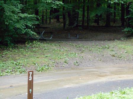
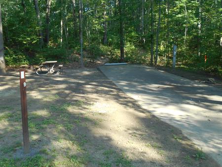
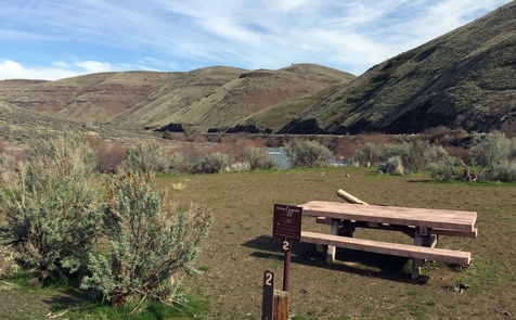
- Sixteen developed first-come, first-served campgrounds and seven day-use areas offer riverside recreating fun.
- Due to high fire danger, the Lower Deschutes River is closed to all campfires and charcoal fires from June 1 through October 15 each year. Propane and white gas stoves and shielded lanterns are permitted. Smoking is permitted only in a closed vehicle, while standing in the water, or while in a boat on the water. Using or possessing fireworks is prohibited at all times. The affected area of this closure is within the Lower Deschutes National Wild and Scenic River corridor, which extends from Pelton Dam to the Columbia River.
- When recreating on public lands, practice Leave-No-Trace principles.
Point of Interest:
Thirty six miles of the Lower Deschutes Access Road near Maupin, Oregon are also designated as the Lower Deschutes River Back Country Byway, a road offering scenic views of the basaltic canyon of the Lower Deschutes.