Directions
Kiger Gorge Overlook: From Frenchglen, Oregon, head southeast on OR-205 S for 0.2 miles. Take Fish Lake Rd and Steens Mountain Rd to the overlook, approximately 22.8 miles.
Phone
541-573-4400
Activities
CAMPING, FISHING, HIKING, HUNTING, WILDLIFE VIEWING, WILDERNESS, OBSERVATION SITE, PHOTOGRAPHY
Camping Reservations
Reserve your campsite at these camping areas:
Hiking Trails
Looking for nice hiking areas to take a hike? Choose from these scenic hiking trails:
Related Link(s)
Story Map: Steens Mountain Wilderness Area Tour
Kiger Creek Wild and Scenic River at rivers.gov
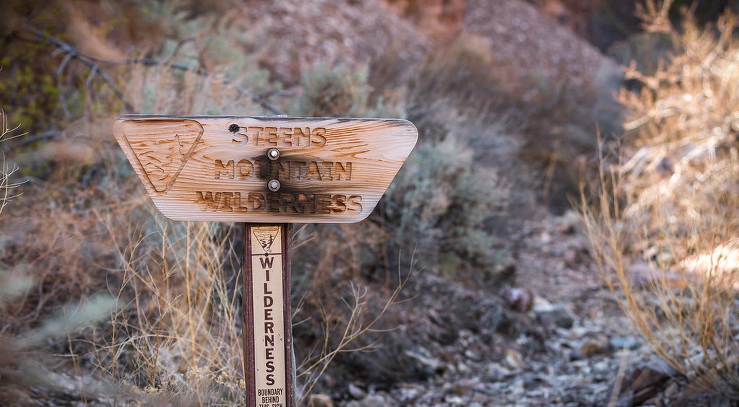
Map of Steens Mountain Wilderness
Video: Steens Mountain Kiger Gorge
Overview:
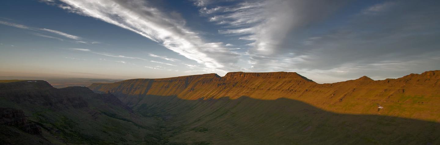
Kiger Creek flows through one of the most prominent canyons in the Steens Mountain area and offers a spectacular display of past glacial activity. The long corridor can be seen from miles away, and is identifiable by its own unique geologic feature – Kiger Notch. The U-shaped gorge is a classic example of a glaciated canyon. On a clear day, scenic vistas extend to the horizon.
Know Before You Go:
- Limited water sources “ carry enough water and food to last your entire trip, and do not drink from untested water sources.
- Ticks, mosquitoes, and rattlesnakes in certain areas during spring and summer.
- Weather conditions “ the mountain™s high elevation can cause rapid temperature changes. Blustery, 100-degree days are common and snow can fall year-round. Be prepared for sudden lightning storms, snow, rain, and high winds.
- Long distances between services “ including gas stations, phones, and cell phone reception. Let someone at home know where you plan to go and when you plan to return. Phone service should not be relied on for emergency communication. Always start your trip with a full tank of fuel and call ahead for current information about fuel availability in the Steens Mountain area. Fuel may be available in the towns of Fields, Frenchglen, Crane, or the Narrows.
- Rough terrain “ deep canyons and rocky slopes are a natural party of the rugged mountain territory. Elevation can change from less than 4,000 feet to over 9,000 feet in just a few miles. We recommend high clearance or 4×4 vehicles for primitive roads, including the steep and rocky portion of the Steens Mountain Loop Road near South Steens Campground. The rest of the Steens Mountain Loop Road can accommodate passenger cars at lower speeds. High quality tires are a must for all vehicles, even when traveling on maintained routes.
- Livestock and wildlife on roadways “ much of southeast Oregon is open range. Be alert, drive with caution, and plan to share roadways with cattle, deer, elk, antelope, wild horses, and rabbits!
- Staying Found “ the remote nature and vast landscape of the Steens Mountain area may leave even the most experienced traveler directionally confused or just plain lost. Traveling with a current map of the area is essential! Don™t hesitate to talk to locals – area landowners and Federal employees are generally visible in the Steens Mountain area. We welcome your visit and have information to help you.
Point of Interest:
Kiger Creek provides habitat for wild, native redband trout. Additionally, Malheur mottled sculpin, mountain whitefish, and longnose dace have been observed in Kiger Creek downstream of the WSR segment. Redband trout and Malheur mottled sculpin are recognized by the BLM as Special Status Species.