Directions
From Burns, Oregon Take State Highway 78 southeast for approximately 2 miles. Tum right onto State Highway 205 and travel south for 60 miles to Frenchglen, Oregon. Just past Frenchglen, tum left onto the Steens Mountain Loop Road. Follow the Loop Road for approximately 3 miles before turning into Page Springs Campground to the right, just across the Donner und Blitzen River.
Phone
541-573-4400
Activities
CAMPING, FISHING, HIKING, HUNTING, WILDLIFE VIEWING, WILDERNESS, PHOTOGRAPHY, HORSE CAMPING
Camping Reservations
Reserve your campsite at these camping areas:
Hiking Trails
Looking for nice hiking areas to take a hike? Choose from these scenic hiking trails:
Related Link(s)
Donner Ñnd Blitzen Wild and Scenic River at rivers.gov
Donner Ñnd Blitzen Wild and Scenic River at the National Conservation Lands website
Video: Explore Oregon Recreation: Page Springs Campground
Photo Album: Donner Ñnd Blitzen Wild and Scenic River
Overview:
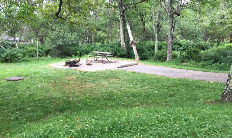
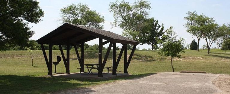
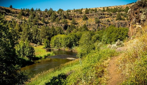
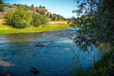
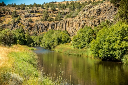
Nearly rugged 88 miles of waterways comprise the Donner Ñnd Blitzen Wild and Scenic River and its tributaries. The mainstem of the river as well as Big and Little Indian Creeks, Fish Creek, the South Fork and the Little Blitzen River were originally designated in 1988. Several more tributaries were added to the river system in 2000, including portions of Mud and Ankle Creeks. Activities include hunting, fishing, camping backpacking, horse use and other outdoor pursuits. Four developed campgrounds at Page Springs, Fish Lake, Jackman Park and South Steens make great launch points for backcountry adventure in the area™s wild and scenic rivers.
Know Before You Go:
- Carry enough water and food to last your entire trip, and do not drink from untested water sources.
- Ticks, mosquitoes, and rattlesnakes in certain areas during spring and summer.
- Weather conditions “ the mountain™s high elevation can cause rapid temperature changes. Blustery, 100-degree days are common and snow can fall year-round. Be prepared for sudden lightning storms, snow, rain, and high winds.
- Long distances between services “ including gas stations, phones, and cell phone reception. Let someone at home know where you plan to go and when you plan to return. Phone service should not be relied on for emergency communication. Always start your trip with a full tank of fuel and call ahead for current information about fuel availability in the Steens Mountain area. Fuel may be available in the towns of Fields, Frenchglen, Crane, or the Narrows.
- Rough terrain “ deep canyons and rocky slopes are a natural party of the rugged mountain territory. Elevation can change from less than 4,000 feet to over 9,000 feet over the course of a few miles traveled. We recommend high clearance or 4×4 vehicles for primitive roads, including the steep and rocky portion of the Steens Mountain Loop Road near South Steens Campground. The rest of the Steens Mountain Loop Road can accommodate passenger cars at lower speeds. High quality tires are a must for all vehicles, even when traveling on maintained routes.
- Livestock and wildlife on roadways “ much of southeast Oregon is open range. Be alert, drive with caution, and plan to share roadways with cattle, deer, elk, antelope, wild horses, and rabbits!
- Staying Found “ the remote nature and vast landscape of the Steens Mountain area may leave even the most experienced traveler directionally confused or just plain lost. Traveling with a current map of the area is essential! Don™t hesitate to talk to locals – area landowners and Federal employees are generally visible in the Steens Mountain area. We welcome your visit and have information to help you.
- When recreating on public lands, practice Leave-No-Trace Principles.
Point of Interest:
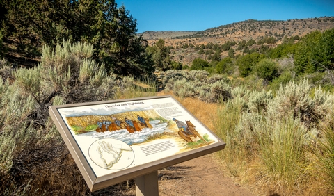
In 1860, the U.S. Army sent Major Enoch Steen to determine the feasibility of a road from southeastern Oregon to the Willamette Valley. His party named many prominent topographic features, including Steens Mountain. In 1864, during a thunderstorm, Captain George B. Curry and his command were forced to cross a river on the west slope of the Steens. He named the River “Donner und Blitzen,” which is German for thunder and lightning.