
Directions
The East Trailhead is accessed from Highway 70 between Safford and Bylas on a 46 mile dirt road that has creek crossings without bridges. Please note that high clearance vehicles are necessary to negotiate the creek crossings in order to reach the East Trailhead and that the road is often impassable due to flash flooding.
The West Trailhead is accessed from Highway 77 between Mammoth and Winkelman (closer to Tucson and Phoenix), on a 12 mile road that is paved for three miles and dirt for nine miles.
Phone
(928) 348-4400
Activities
CAMPING, HIKING, WILDLIFE VIEWING, WILDERNESS, PHOTOGRAPHY
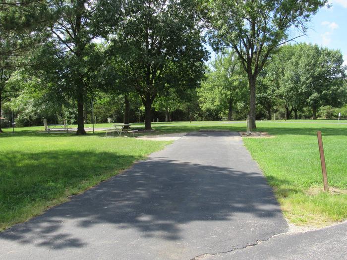
Camping Reservations
Reserve your campsite at these camping areas:
Hiking Trails
Looking for nice hiking areas to take a hike? Choose from these scenic hiking trails:
Related Link(s)
Overview
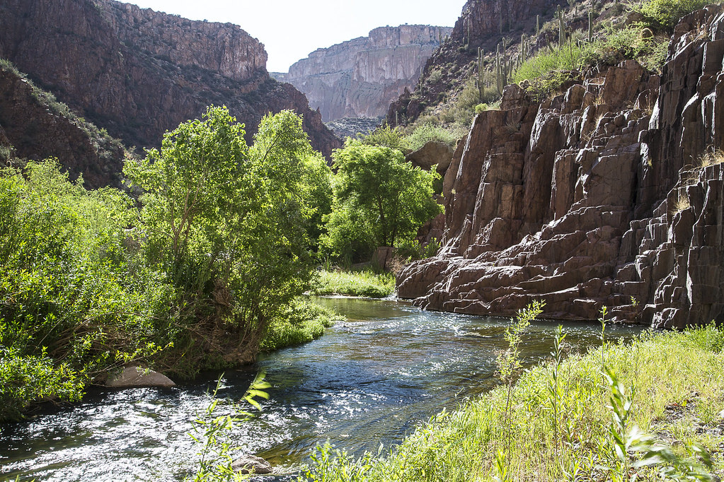
With towering cliffs, flowing water and a rich diversity of flora and fauna, Aravaipa Canyon Wilderness remains as one of Arizonas truly unique areas. Its 19,410 acres of designated Wilderness beckons adventurers who yearn for solitude and scenic splendor. Located in southeast Arizona, roughly between Tucson and Phoenix, the Wilderness and surrounding public and private land conserve a vital ecosystem for future generations.
Aravaipa Creek flows year-round, an unusual phenomenon in the Arizona desert. Nurtured by this abundant water, large sycamore, ash, cottonwood, and willow trees flourish along the stream, flanked by other riparian vegetation. In the fall, a kaleidoscope of brilliant red and golden leaves contrasts dramatically with the surrounding Sonoran Desert landscape.
The Bureau of Land Management manages Aravaipa Canyon Wilderness to protect its essential wilderness character and fragile environment while providing the visitor with a world class opportunity for primitive and unconfined recreation. A permit is required to hike, backpack, and hunt in Aravaipa Canyon and all the side canyons. Click here for more information about permits for Aravaipa Canyon.
Know Before You Go
- Expect the wild! There are no designated trails, campsites, signs, or facilities within the wilderness boundaries. The land is rugged and hikers should be in good condition to pass through dense riparian vegetation (a sign of a healthy ecosystem). All visitors should wear sturdy footwear suitable for hiking in sand, gravel, and cobble with potential for numerous stream crossings in knee-deep water.
- From the West trailhead (2,630 feet), expect a continuous 430 feet elevation gain over uneven terrain for 12.25 miles to the East trailhead (3,060 feet).
- There are multiple side canyons, caves, outcrops, chimneys, and “windows” to explore along your way. Strong or destination hikers can traverse from end to end in 8 to 10 hours, while nature watchers, photographers and those wanting to explore side canyons may take one or two nights.