Directions
Access is via U.S. Highway 95 through Riggins and White Bird, Idaho.
Phone
208-962-3245
Activities
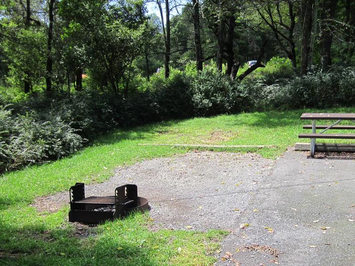
BOATING, CAMPING, FISHING, HUNTING, OFF HIGHWAY VEHICLE, PICNICKING, WATER SPORTS, PADDLING
Camping Reservations
Reserve your campsite at these camping areas:
Hiking Trails
Looking for nice hiking areas to take a hike? Choose from these scenic hiking trails:
Related Link(s)
The 425-mile Salmon River is one of the longest free-flowing river in the lower 48 states. The river begins at not much more than a trickle at an elevation of about 8,000 feet in the Sawtooth and Whitecloud Mountains of central Idaho. It gathers force as it makes its way northeast and then west, fed by snows from the Sawtooth and Salmon River Mountains in the south and the Clearwater and Bitterroot Mountains in the north.
About 150 miles further on its westward course, the Salmon River has carved the second deepest canyon in North America, which effectively splits Idaho in half. The section known as the Lower Salmon River begins at Vinegar Creek, 25 miles above the town of Riggins. At Riggins, the river swings north and then west for 87 miles where it then meets the Snake River. The Salmon and Snake combine to flow into the Columbia River and eventually into the ocean. The drainage area of the Salmon River, which lies entirely within Idaho’s borders, encompasses approximately 13,550 square miles.
The river and its canyon are truly remarkable in this “pool and drop” river where difficult rapids are located in the narrow canyons. The numerous unusual white sand beaches offer camping and serve as a reminder that this river is still free flowing. The 20-mile stretch of the Snake River, from the confluence with the Salmon River to the Heller Bar take-out near the confluence with the Grande Ronde River, contains slower moving water with some rapids and is often characterized by stiff up-canyon winds.
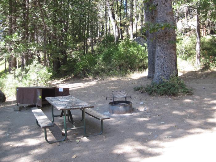
Along the Lower Salmon River, the BLM manages the following sites: Hammer Creek, Island Bar, Lucile, Old Lucile, Pine Bar, Shorts Bar, Skookumchuck, Slate Creek and White Bird Gravel Pit.
The Lower Salmon River from Vinegar Creek to the confluence with the Snake River features 112 miles of Class II-IV whitewater in one of the deepest canyons in the United States. Much of the 53 miles of the river, from White Bird downstream to the confluence of the Snake and Salmon Rivers, is roadless and accessible only by boat. The Lower Salmon is a suitable river for future Wild and Scenic River designation. The BLM recreation sites with provide access to the Lower Salmon are Island Bar, Lucile, Old Lucile, Shorts Bar, Slate Creek, Skookumchuck, White Bird, Hammer Creek and Pine Bar. Be sure to check those sites for more information and amenities for boat ramps or camping. For river maps, authorized outfitters and shuttle services, go to the links below.