Directions
Drive southeast on State Road 227 towards Spring Creek (7 miles). Turn south on State Road 228. Drive approximately 5 miles until the South Fork turnoff to the west. Head northwest of the dam to access South Fork Canyon.
Phone
775-753-0200
Activities
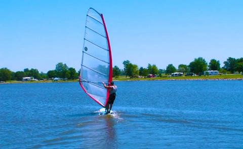
BIKING, BOATING, HISTORIC & CULTURAL SITE, CAMPING, FISHING, HIKING, HORSEBACK RIDING, PICNICKING, WINTER SPORTS, WILDLIFE VIEWING
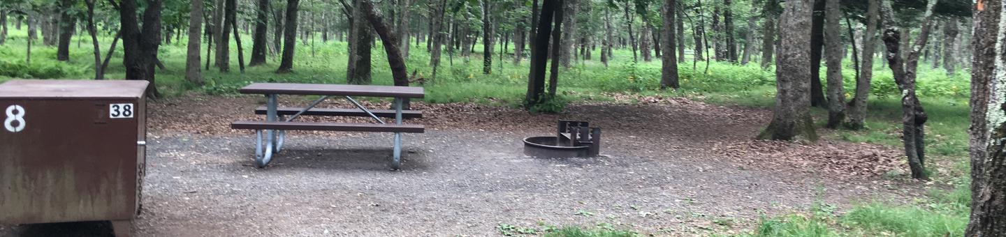
Camping Reservations
Reserve your campsite at these camping areas:
Hiking Trails
Looking for nice hiking areas to take a hike? Choose from these scenic hiking trails:
Related Link(s)
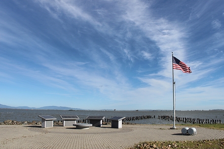
South Fork Canyon Recreation Area
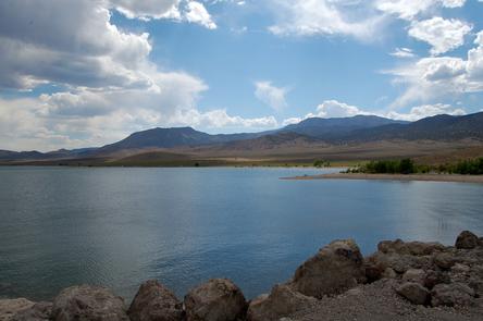
Located northwest of South Fork Recreation Area, South Fork Canyon offers access to the South Fork River. Float the river in tubes, kayaks or canoes. Along the river you will have the opportunity to see part of the California National Historic Trail (Hastings Cutoff), wildlife, deep limestone canyon walls, and cultural sites. The best time to float the river is during spring runoff. The river is mostly Class I with limited Class II areas (only at peak flows).