Directions
The refuge is located over 100 miles of Washington’s coast from Flattery Rocks south to Copalis Beach. These islands are closed to the public in order to protect seabird nesting sites. Islands can be viewed from coastal highway or ocean beaches.
Phone
360-457-8451
Camping Reservations
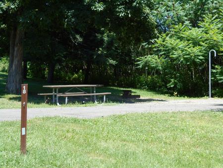
Reserve your campsite at these camping areas:
Hiking Trails
Looking for nice hiking areas to take a hike? Choose from these scenic hiking trails:
Related Link(s)
More Washington Recreation Areas
Quillayute Needles Refuge consists of a portion of 870 islands, rocks, and reefs extending for more than 100 miles along Washington’s coast from Cape Flattery to Copalis Beach. These islands are protected from human disturbance, yet are close to abundant ocean food sources. They are a vital sanctuary where 14 species of seabirds nest and raise their young. During migration the total populations of seabirds, waterfowl, and shorebirds may exceed a million birds. Sea lions, harbor seals, sea otters, and whales may also be seen around the islands. Most of the coastal islands are designated as wilderness.


