
Directions
From I-70: Take exit 149, then take UT-24 west toward Hanksville; continue for 43.8 miles (70.5 km). Turn right to continue on UT-24 west and continue for 37.3 miles (60 km). From I-15: take exit 188 then US-50 east toward Scipio. Left on UT-50; continuing 0.7 miles (1.1 km). Turn right onto US-50 east; continue for 24.4 miles (39.3 km). Turn right onto UT-260 south and continue 4.2 miles (6.8 km), then right on UT-24 for 71.3 miles. UT-12: North on highway 12 to Torrey, UT. Right onto UT-24.
Phone
(435) 425-3791
Activities
AUTO TOURING, BIKING, CLIMBING, HISTORIC & CULTURAL SITE, CAMPING, FISHING, HIKING, HORSEBACK RIDING, PICNICKING, WILDLIFE VIEWING, HORSE CAMPING
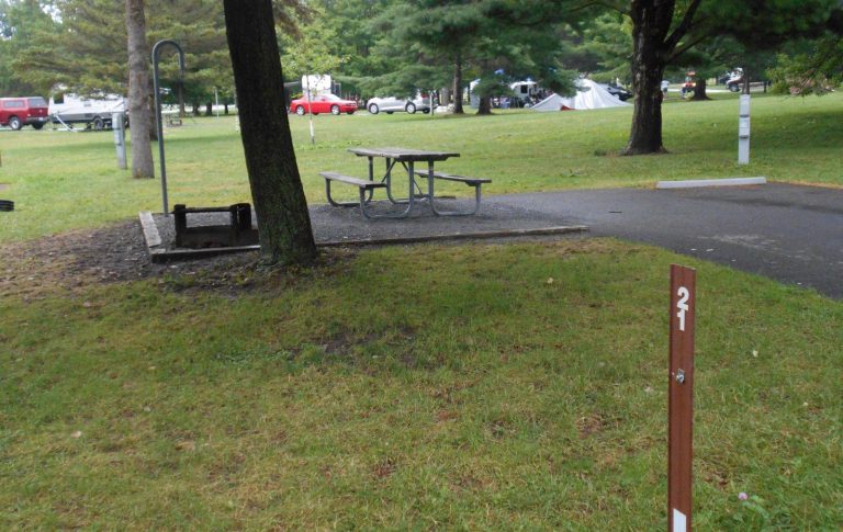
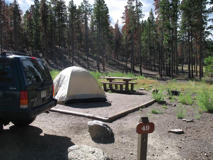
Camping Reservations
Reserve your campsite at these camping areas:
Capitol Reef NP Group Campsite
Hiking Trails
Looking for nice hiking areas to take a hike? Choose from these scenic hiking trails:
Related Link(s)
Capitol Reef National Park Official Website
Capitol Reef National Park Map
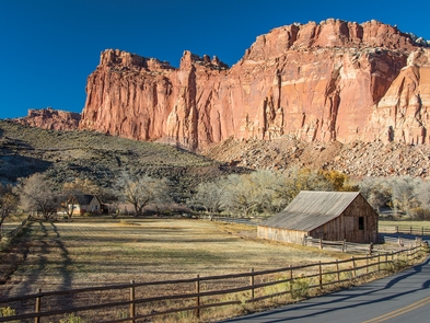
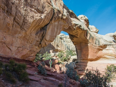
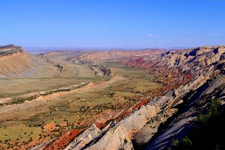
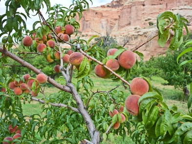
Located in south-central Utah in the heart of red rock country, Capitol Reef National Park is a hidden treasure filled with cliffs, canyons, domes, and bridges in the Waterpocket Fold, a geologic monocline (a wrinkle on the earth) extending almost 100 miles.