


Directions
From I-75, take exit 350 onto Battlefield Parkway (GA HWY 2) and continue to the intersection of Battlefield Parkway and LaFayette Road. Turn left onto LaFayette Road and continue for approximately 1 mile. The visitor center will be on the right. From I-24, take exit 180 onto Rossville Boulevard (US HWY 27). Continue south to the intersection of Battlefield Parkway. Drive through the intersection, continuing on the LaFayette Road. The visitor center will be on the right.
Phone
(706) 866-9241
Activities
AUTO TOURING, BIKING, CLIMBING, HISTORIC & CULTURAL SITE, HIKING, HORSEBACK RIDING, PICNICKING, PADDLING
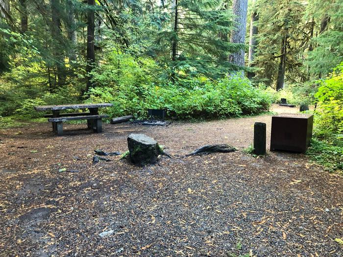
Camping Reservations
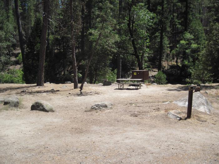
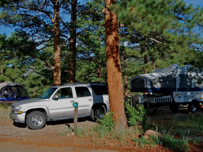
Reserve your campsite at these camping areas:
Hiking Trails
Looking for nice hiking areas to take a hike? Choose from these scenic hiking trails:
Related Link(s)
Chickamauga & Chattanooga National Military Park Official Website
Chickamauga & Chattanooga National Military Park Map
In 1863, Union and Confederate forces fought for control of Chattanooga, known as the “Gateway to the Deep South.” The Confederates were victorious at nearby Chickamauga in September. However, renewed fighting in Chattanooga that November provided Union troops victory and control of the city. After the fighting, a Confederate soldier ominously wrote, “This…is the death-knell of the Confederacy.”