
Directions
From I-85 N, take exit 83. Turn left on Hwy 110, approx. 8 miles. Turn right on Hwy 11. The park is about a half mile on the right. From I-85 S, take exit 92, turn right toward Chesnee on Hwy 11, approx.10 miles on the left. From I-26 E, take exit 5, turn left toward Chesnee on Hwy 11, approx. 20 miles on the right. From I-26 W, take I-85 North, take exit 83. Turn left on Hwy 110, approx. 8 miles. Turn right on Hwy 11. The park is about a half mile on the right.
Phone
(864) 461-2828
Activities
HISTORIC & CULTURAL SITE
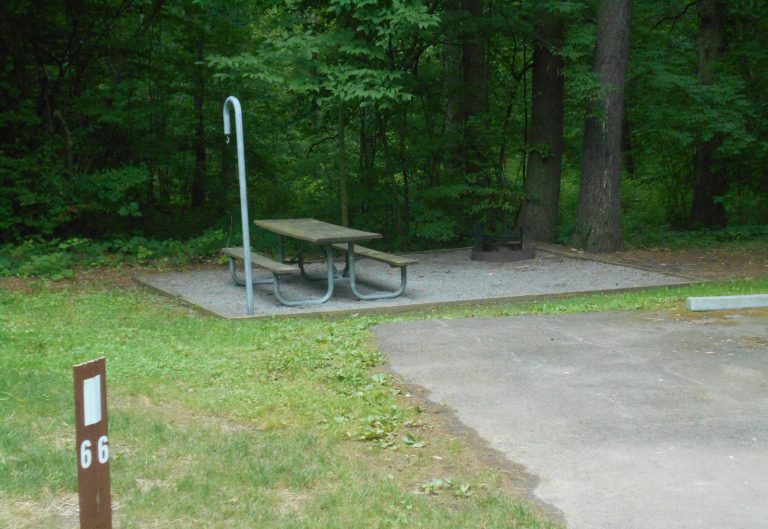
Camping Reservations
Reserve your campsite at these camping areas:
Hiking Trails
Looking for nice hiking areas to take a hike? Choose from these scenic hiking trails:
Related Link(s)
More South Carolina Recreation Areas
Cowpens National Battlefield Official Website
Cowpens National Battlefield Map
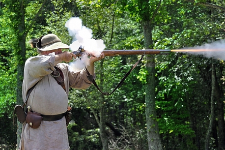
¦our success was complete¦ — Daniel Morgan to Nathanael Greene, January 19, 1781 A pasturing area at the time of the battle, this Revolutionary War site commemorates the place where Daniel Morgan and his army turned the flanks of Banastre Tarleton’s British army. This classic military tactic, known as a double envelopment, was one of only a few in history.