Directions
Driving Directions To reach the visitor center from Interstate 95: ¢ Take Exit 3 for US 40 ¢ Take US 40 East toward Historic Downtown St. Marys ¢ US 40 becomes Osborne Rd. Continue on until you reach the waterfront ¢ Turn right on St. Marys Rd ¢ The visitor center will be two blocks down on your left (113 St. Marys St W, St Marys GA 31558)
Phone
(912) 882-4336
Activities
BIKING, BOATING, CAMPING, HIKING, HUNTING, WILDLIFE VIEWING, SWIMMING
Camping Reservations
Reserve your campsite at these camping areas:
Cumberland Island National Seashore Camping Permits
Hiking Trails
Looking for nice hiking areas to take a hike? Choose from these scenic hiking trails:
Related Link(s)
Cumberland Island National Seashore Official Website
Cumberland Island National Seashore Map
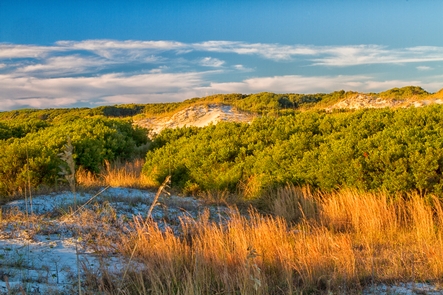
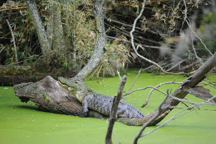
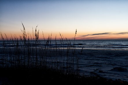
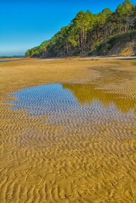
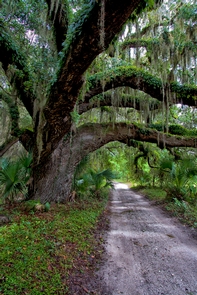
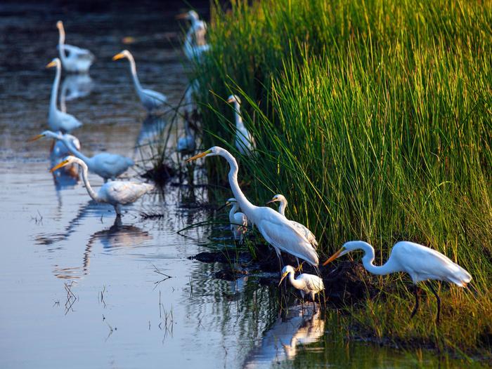
St Marys is the gateway to Cumberland Island, Georgia’s largest and southernmost barrier island. Here pristine maritime forests, undeveloped beaches and wide marshes whisper the stories of both man and nature. Natives, missionaries, enslaved African Americans and Wealthy Industrialists all walked here. Cumberland Island is also home to over 9,800 acres of Congressionally designated Wilderness.

