
Directions
Plane Cleveland Hopkins International Airport and Akron-Canton Regional Airport offer many daily flights to the area. Car rentals are available at both airports. Bus & Train Bus stations are located in downtown Cleveland and Akron. The Amtrak station is in downtown Cleveland. Car The park is easily accessible by car from all directions. A good place to start your visit is at Boston Mill Visitor Center located at 6947 Riverview Road, Peninsula, Ohio 44264. (41° 15’45.3″ N) (81° 33’37.3″ W).
Phone
(440) 717-3890
Activities
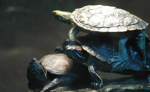
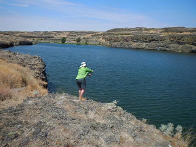
BIKING, HISTORIC & CULTURAL SITE, CAMPING, FISHING, HIKING, HORSEBACK RIDING, PICNICKING, WILDLIFE VIEWING, PADDLING
Camping Reservations
Reserve your campsite at these camping areas:
CUYAHOGA VALLEY NATIONAL PARK PICNIC SHELTERS
Hiking Trails
Looking for nice hiking areas to take a hike? Choose from these scenic hiking trails:
Related Link(s)
Cuyahoga Valley National Park Official Website
Cuyahoga Valley National Park Map
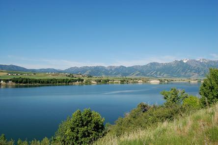
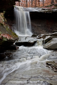
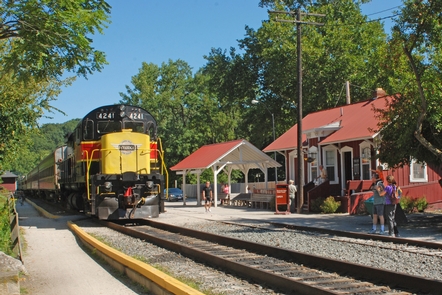
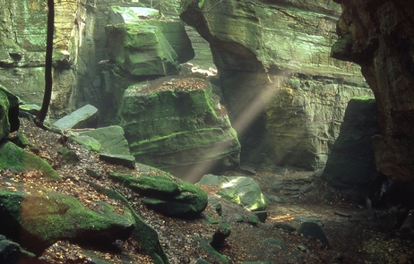
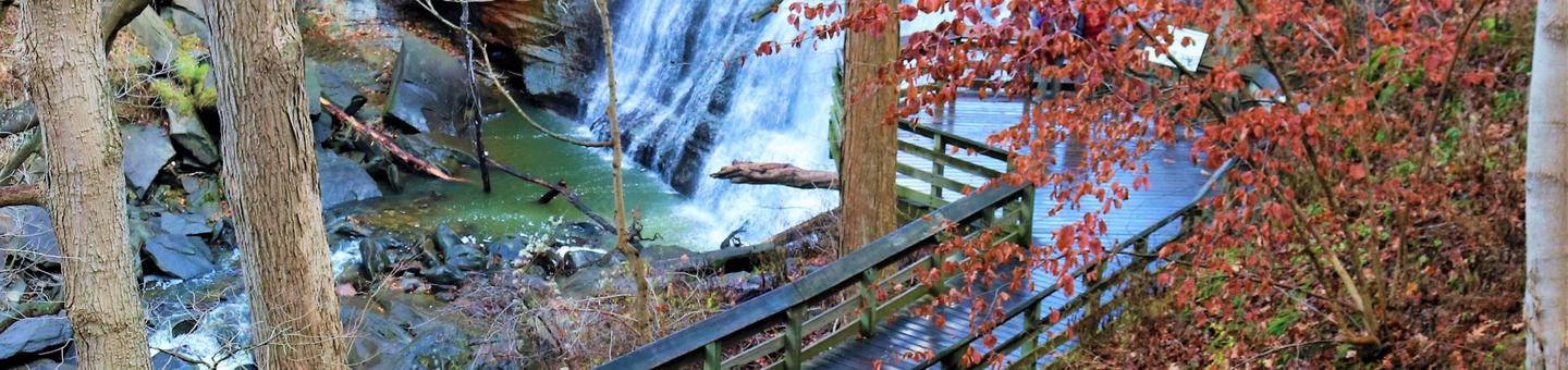
Though a short distance from the urban areas of Cleveland and Akron, Cuyahoga Valley National Park seems worlds away. The park is a refuge for native plants and wildlife, and provides routes of discovery for visitors. The winding Cuyahoga River gives way to deep forests, rolling hills, and open farmlands. Walk or ride the Towpath Trail to follow the historic route of the Ohio & Erie Canal.