

Directions
Shuttle Bus: Most visitors must park at the Mammoth Mountain Ski Area and use the mandatory shuttle. The shuttle bus operates from mid-June through the Wednesday after Labor Day. By car: From U.S. Highway 395, drive 10 miles west on S.R. 203 to Minaret Vista and then another 8 miles on a paved, steep mountain road. Please note that this road is single lane for approximately 3 miles. By plane: The closest commercial airport is the Mammoth Lakes/Yosemite Airport (MMH), located on U.S. Highway 395.
Phone
(760) 934-2289
Activities
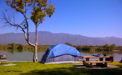
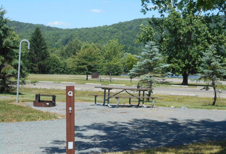
CAMPING, FISHING, HIKING, WILDLIFE VIEWING
Camping Reservations
Reserve your campsite at these camping areas:
Hiking Trails
Looking for nice hiking areas to take a hike? Choose from these scenic hiking trails:
Related Link(s)
More California Recreation Areas
Devils Postpile National Monument Official Website
Devils Postpile National Monument Map
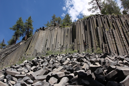
Established in 1911 by presidential proclamation, Devils Postpile National Monument protects and preserves the Devils Postpile formation, the 101-foot high Rainbow Falls, and pristine mountain scenery. The formation is a rare sight in the geologic world and ranks as one of the world’s finest examples of columnar basalt. Its’ columns tower up to 60 feet and display a striking symmetry.