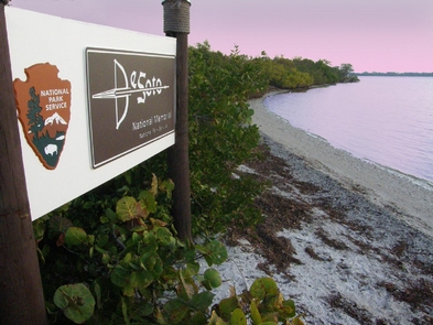
Directions
Driving Directions: From I-75 Take exit 220 SR 64/Manatee Ave, Gulf Beaches exit. Travel west on SR 64 for approximately 12 miles to 75th St. W. Turn right onto 75th St. W. travel north approximately 2 miles to the northern terminus 75th St. W. turns into De Soto Memorial Hwy and dead ends into the park.
Phone
(941) 792-0458
Activities
HISTORIC & CULTURAL SITE, FISHING, PADDLING
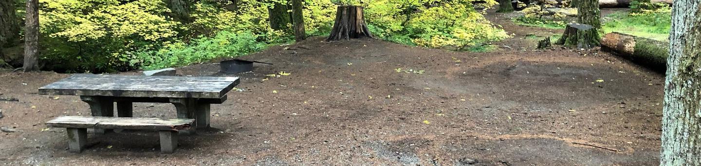
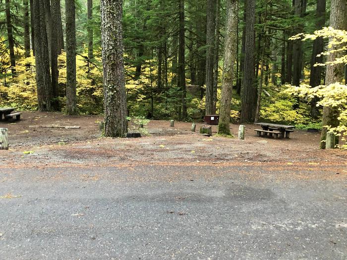
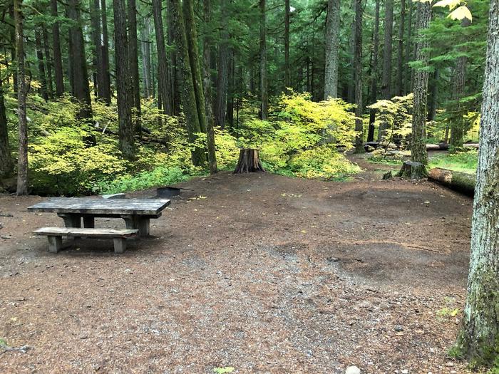
Camping Reservations
Reserve your campsite at these camping areas:
Hiking Trails
Looking for nice hiking areas to take a hike? Choose from these scenic hiking trails:
Related Link(s)
De Soto National Memorial Official Website
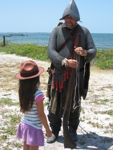
In May 1539, Conquistador Hernando de Soto™s army of soldiers, hired mercenaries, craftsmen, and clergy made landfall in Tampa Bay. They were met with fierce resistance of indigenous people protecting their homelands. De Soto™s quest for glory and gold would be a four year, four thousand mile odyssey of intrigue, warfare, disease, and discovery that would form the history of the United States.