
Directions
Delaware Water Gap National Recreation Area is a long, narrow park that sits between two major interstates, I-80 at the south and I-84 at the north. US 209 is the main north/south road through the park on the Pennsylvania side and Old Mine Road is the main north/south road though the park on the New Jersey side.
Phone
(570) 426-2452
Activities
BIKING, BOATING, CLIMBING, HISTORIC & CULTURAL SITE, FISHING, HIKING, HORSEBACK RIDING, HUNTING, PICNICKING
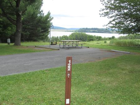
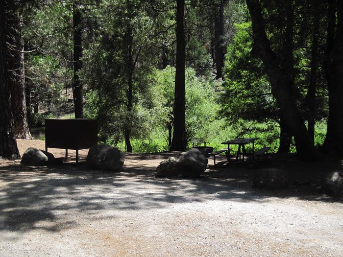
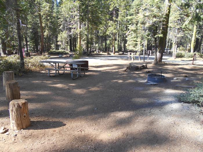
Camping Reservations
Reserve your campsite at these camping areas:
Hiking Trails
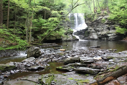
Looking for nice hiking areas to take a hike? Choose from these scenic hiking trails:
Related Link(s)
More Pennsylvania Recreation Areas
Delaware Water Gap National Recreation Area Official Website
Delaware Water Gap National Recreation Area Map
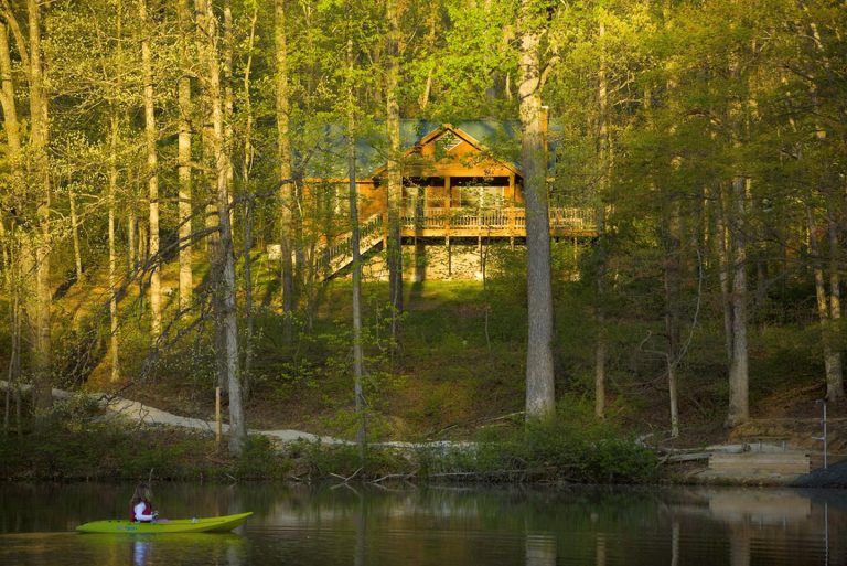
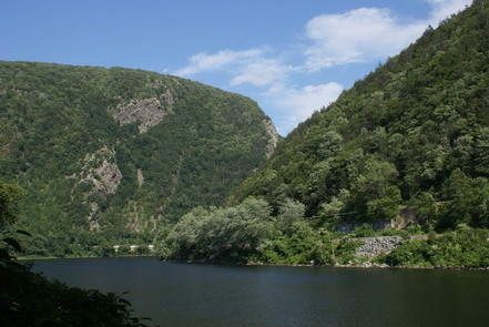
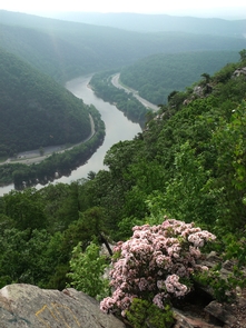
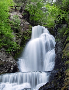
Paddlers slip down the river between low forested mountains; anglers wade the trout streams; hikers scan the valley from the ridge or peer into the 1000-foot-deep Water Gap. The valley has known human hand and voice for 10,000 years. Floodplains nourished the Native farmer; waterfalls drew the Victorian vacationer. Today, a 70,000-acre park welcomes those who seek the outdoors close to home.