Directions
From Albuquerque, NM, or from the east: take Interstate 40 west to Grants. At exit 81, go south on Highway 53 for 42 miles to El Morro National Monument. From Flagstaff, AZ, or from the west: take Interstate 40 east to Gallup. At exit 20, go south on Highway 602 for about 31 miles. Turn east (left) onto Highway 53. El Morro is 25 more miles.
Phone
(505) 783-4226
Activities
HISTORIC & CULTURAL SITE, CAMPING, HIKING
Camping Reservations
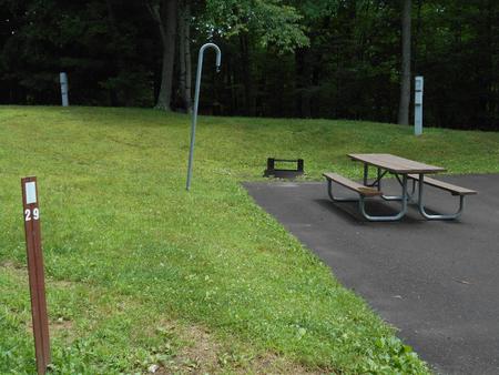
Reserve your campsite at these camping areas:
Hiking Trails
Looking for nice hiking areas to take a hike? Choose from these scenic hiking trails:
Related Link(s)
More New Mexico Recreation Areas
El Morro National Monument Official Website
El Morro National Monument Map
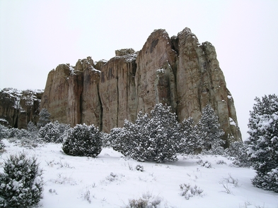
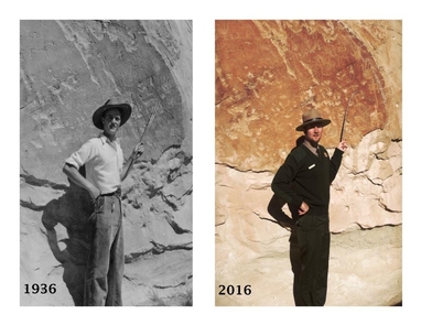
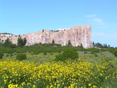
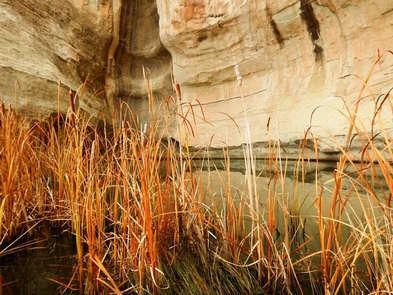
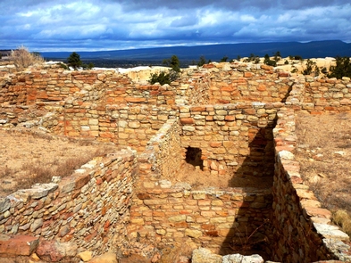
Imagine the refreshment of finding water after days of dusty travel. A reliable waterhole hidden at the base of a sandstone bluff made El Morro (the headland) a popular campsite for hundreds of years. Here, Ancestral Puebloans, Spanish and American travelers carved over 2,000 signatures, dates, messages, and petroglyphs. Make El Morro National Monument a stopping point on your travels.

