
Directions
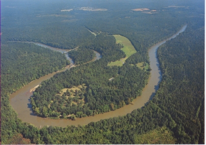
Located in northeastern Tallapoosa County, Horseshoe Bend National Military Park is accessible from US Highway 280, as well as AL Highways 22 and 49. The Park is located 5 miles south of the town of Newsite, AL and 12 miles north of the city of Dadeville, AL.
Phone
(256) 234-7111
Camping Reservations
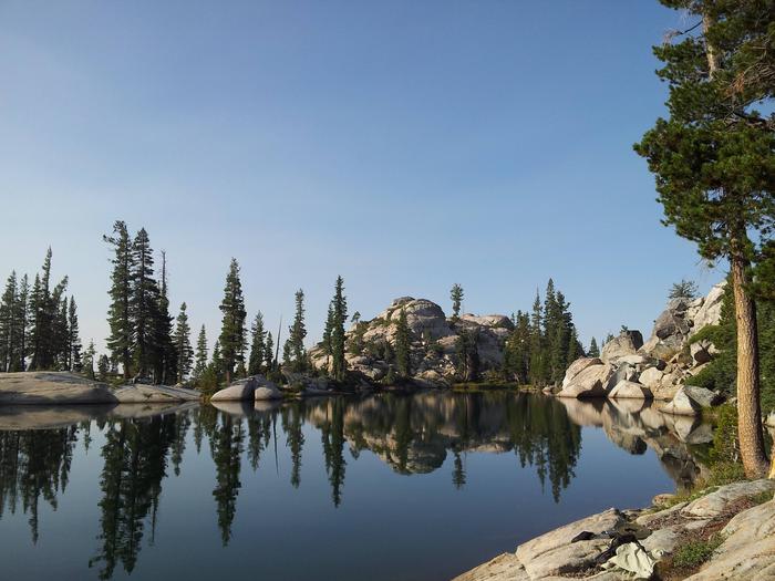
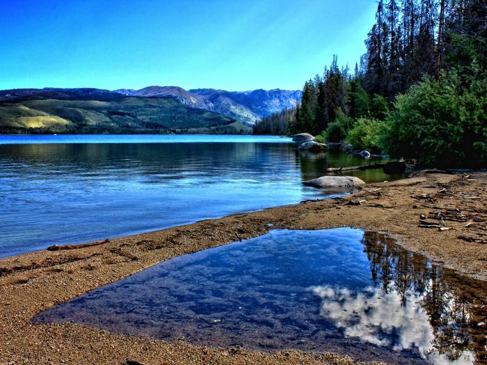
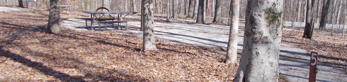
Reserve your campsite at these camping areas:
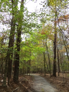
Hiking Trails
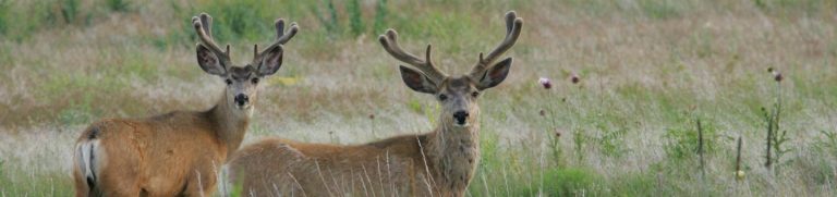
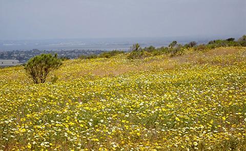
Looking for nice hiking areas to take a hike? Choose from these scenic hiking trails:
Related Link(s)
Horseshoe Bend National Military Park Official Website
Horseshoe Bend National Military Park Map
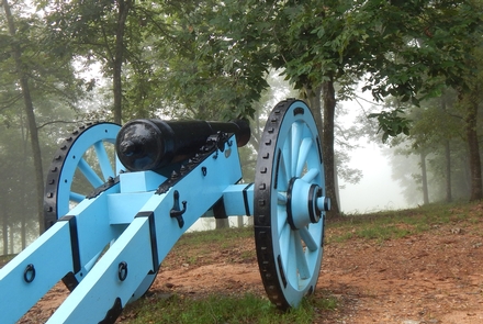
On 27 March 1814, Major General Andrew Jackson ˜s army of 3,300 men attacked Chief Menawa™s 1,000 Red Stick Creek warriors fortified in a horseshoe shaped bend of the Tallapoosa River. Over 800 Red Sticks died that day. The battle ended the Creek War, resulted in a land cession of 23,000,000 acres to the United States and created a national hero of Andrew Jackson.