Directions
Take US Route 219 to the St Michael/Sidman exit. At the end of the exit ramp head East on PA 869 (there is a park sign at the end of the exit ramp). Travel approximately 1.5 miles on PA 869 watching for a left turn onto Lake Road at the sign for Johnstown Flood National Memorial. Follow Lake Road 1.5 miles until the visitor center appears on your right. Please park safely in the designated parking lot and not block any emergency access roads.
Phone
(814) 886-6170
Activities
HIKING, PICNICKING
Camping Reservations
Reserve your campsite at these camping areas:
Hiking Trails
Looking for nice hiking areas to take a hike? Choose from these scenic hiking trails:
Related Link(s)
More Pennsylvania Recreation Areas
Johnstown Flood National Memorial Official Website
Johnstown Flood National Memorial Map
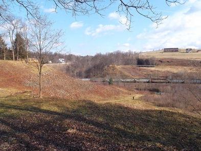
The South Fork dam failed on Friday, May 31, 1889 and unleashed 20,000,000 tons of water that devastated Johnstown, PA. The flood killed 2,209 people but it brought the nation and the world together to aid the “Johnstown sufferers.” The story of the Johnstown Flood reminds us all, “…that we must leave nothing undone for the preservation and protection of our brother men.”