Kalaupapa National Historical Park, Hawaii Camping & Hiking

Kalaupapa National Historical Park, Hawaii Camping & Hiking

Kalaupapa National Historical Park Image Gallery

Directions

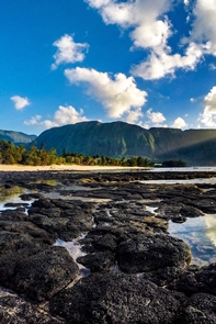
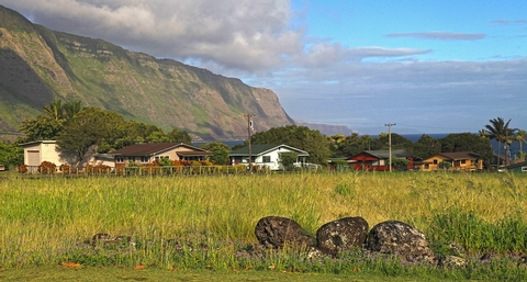
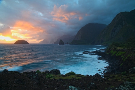
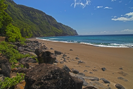
Kalaupapa is an extremely isolated place, surrounded on three sides by ocean and two-thousand foot cliffs on the fourth. Consequently, there is no road access into the peninsula. Kalaupapa cannot be reached by automobile. To get to the park, visitors must travel by air, mule, or on foot. See the park’s Direction and Transportation webpage for additional information.

Phone

(808) 567-6802

Activities

HISTORIC & CULTURAL SITE

Camping Reservations

Reserve your campsite at these camping areas:

Hawaii Campgrounds

Hiking Trails

Looking for nice hiking areas to take a hike? Choose from these scenic hiking trails:

Hawaii Hiking Trails

Related Link(s)

More Hawaii Recreation Areas

Kalaupapa National Historical Park Official Website

Kalaupapa National Historical Park Map

When Hansen’s disease (leprosy) was introduced to the Hawaiian Islands, King Kamehameha V banished all afflicted to the isolated Kalaupapa peninsula on the north shore of Molokai. Since 1866, more than 8000 people, mostly Hawaiians, have died at Kalaupapa. Once a prison, Kalaupapa is now refuge for the few remaining residents who are now cured, but were forced to live their lives in isolation.

More from CampingHiking.net:

White Canyon Wilderness, Arizona Camping & Hiking

Directions The wilderness is located approximately 45 miles southeast of Mesa and about seven miles south of Superior, Arizona, in Pinal County. Phone (520) 258-7200 Activities HIKING, WILDERNESS Camping Reservations

Lake Francis Case, South Dakota Camping & Hiking

Directions Near Pickstown on US 18 and US 281. Phone (605) 487-7847 Activities BOATING, CAMPING, FISHING, HIKING, PICNICKING, VISITOR CENTER, WATER SPORTS, WILDLIFE VIEWING, PLAYGROUND PARK SPECIALIZED SPORT SITE, HOTEL/LODGE/RESORT

Jack-Ash Trail, Oregon Camping & Hiking

Directions From Jacksonville Oregon: go east on E California St, becoming S Stage Rd for 3.4 miles, turning south/right on Griffin Creek Rd. Go 2.5 miles on Griffin Creek, turning

Cold Brook Lake, South Dakota Camping & Hiking

Directions About 1 mile north of Hot Springs. Phone (605) 745-5476 Activities BOATING, PICNICKING, WATER SPORTS, WILDLIFE VIEWING, PLAYGROUND PARK SPECIALIZED SPORT SITE Camping Reservations Reserve your campsite at these