
Directions
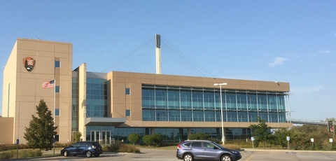
Lewis & Clark National Historic Trail Headquarters Visitor Center is located inside the National Park Service Mid-West Regional Office. We are right on the Missouri River next to the Bob Kerrey Pedestrian Bridge in downtown Omaha, NE.
Phone
(402) 661-1804
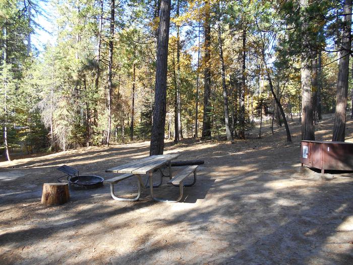
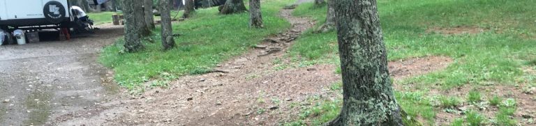
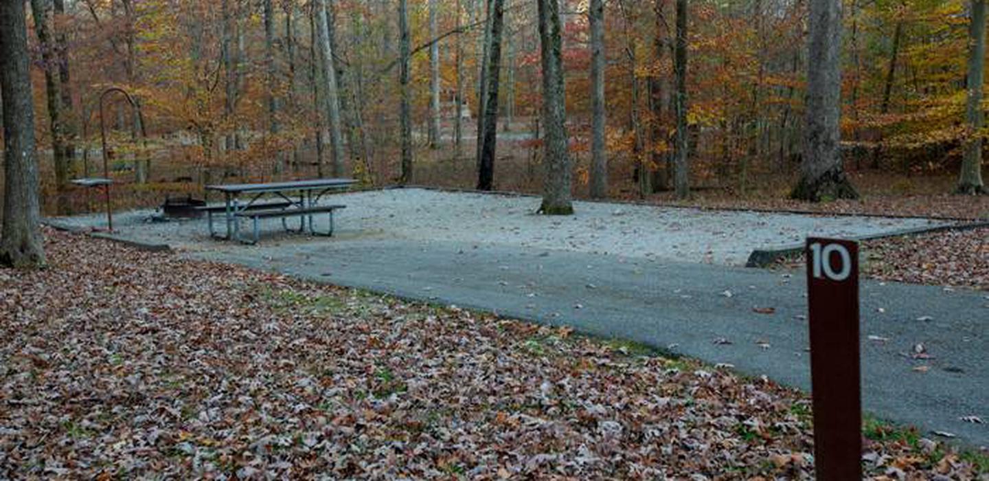
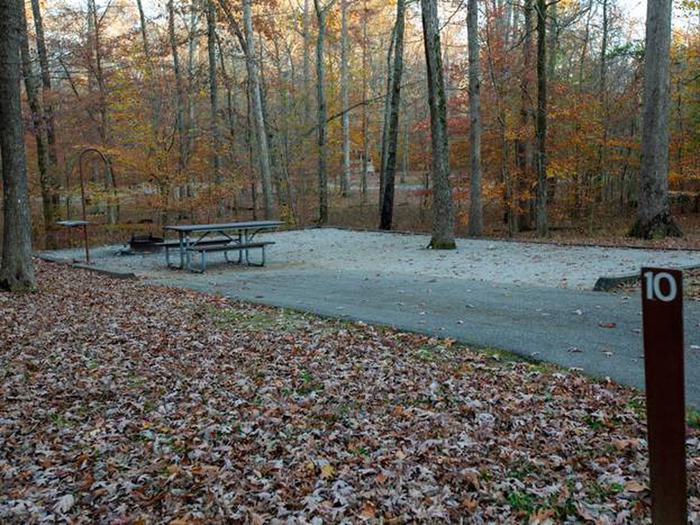
Camping Reservations
Reserve your campsite at these camping areas:
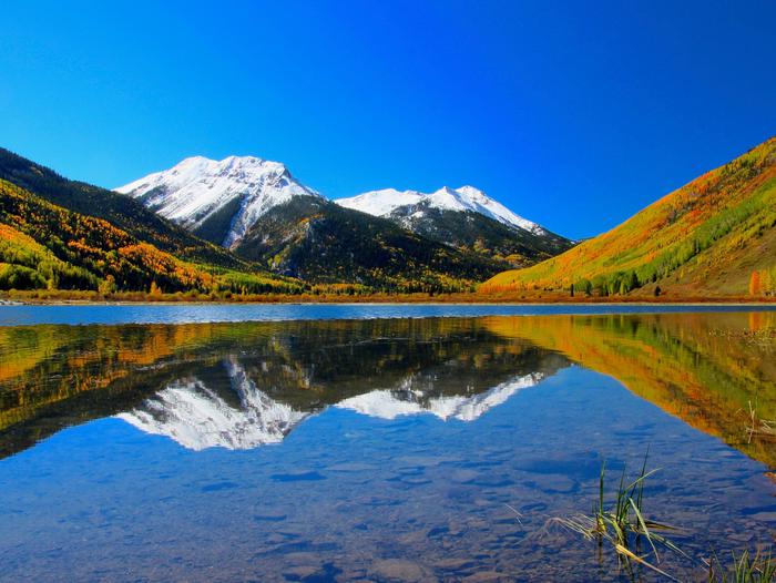
Hiking Trails
Looking for nice hiking areas to take a hike? Choose from these scenic hiking trails:
Related Link(s)
More Nebraska Recreation Areas
Lewis & Clark National Historic Trail Official Website
Lewis & Clark National Historic Trail Map
The Lewis and Clark National Historic Trail is approximately 4,900 miles long, extending from Pittsburgh, Pennsylvania, to the mouth of the Columbia River, near present day Astoria, Oregon. It follows the historic outbound and inbound routes of the Lewis and Clark Expedition as well as the preparatory section from Pittsburgh, Pennsylvania to Wood River, Illinois.