Directions
5 miles west of Hot Springs just off Highway 18.
Phone
(605) 745-5476
Activities
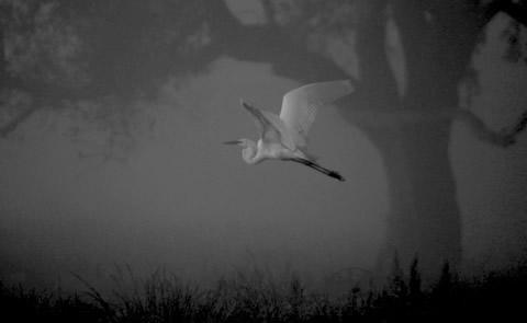
BOATING, PICNICKING, WATER SPORTS, WILDLIFE VIEWING, PLAYGROUND PARK SPECIALIZED SPORT SITE
Camping Reservations
Reserve your campsite at these camping areas:
Hiking Trails
Looking for nice hiking areas to take a hike? Choose from these scenic hiking trails:
Related Link(s)
More South Dakota Recreation Areas
Cottonwood Springs Lake Website
Cottonwood Springs Dam, SD was constructed to reduce flood damages in the Fall River Basin. Located just 5 miles west of Hot Springs on U.S. Highway 18 and nestled in the rugged hills and evergreen trees of the southern Black Hills, Cottonwood Springs Lake is the place to go for nature lovers. This recreation area offers primitive camping only (no hookups), hiking, fishing (only electric motors), and picnicking.